In April of 1846 Lansford Hastings rendezvoused at Johnson’s Ranch, northeast of Sutter’s Fort, with his old friend James Hudspeth who had traveled with him on their 1842 overland trip to Oregon, and the old mountain man James Clyman. They were going to conduct an exploring trip east to fulfill Hasting’s scheme of finding a new, more direct route for drawing thousands of emigrants to California.
On May 21, 1846 the Hasting’s party arrived at the location near Halleck, Nevada on the California Trail that Lt. Talbot and some members of Fremont’s Third Expedition had reached by going through Secret Pass the previous year. The next day, after Hastings had convinced Clyman that they should check out the route to Salt Lake, the party headed east through Secret Pass.
They followed the tracks of the Lt. Talbot-Joe Walker expedition east as far as Mound Spring. From Mound Spring they followed Fremont’s Expedition tracks to the Great Salt Lake Valley. From the Valley the Hastings-Clyman-Hudspeth pack party worked their way northeast through the Wasatch Mountains to Fort Bridger. At this point, Clyman parted company with Hastings and Hudspeth.
Still determined to carry on his plan, Hastings hurried eastward to the South Pass area to recruit westbound emigrant parties willing to try his untried “Cutoff.” In mid July, 1846, three wagon trains and the Bryant-Russell pack party showed up at Fort Bridger to take the new cutoff trail.
FIRST USE OF THE HASTINGS CUTOFF
After leaving Fort Bridger, Hastings and James Hudspeth (who was assisting Hastings as a guide) scurried back and forth between the three wagon companies and the packing party as they did their best to guide them to the valley of the Great Salt Lake. After arriving safely there, the next leg of the journey was west across the salt flats to Donner Spring located just east of Pilot Peak. After a difficult trip across the Salt Lake Desert, the emigrants recruited their livestock at the spring and took a short rest before the next leg of the journey. From Pilot Peak, Hastings guided the wagons generally west and along the route of the 1841 Bidwell-Bartleson Party as he went from spring to spring over to Ruby Valley which was located along the east side of the Ruby Mountains.
Since Hastings did not think he could not take the wagons over Secret Pass in the Ruby Mountains, he was forced to swing around their south end and cross over them at Overland Pass. Next he led the wagons north along Huntington Creek to the South Fork of the Humboldt River, down through the South Fork Canyon and finally tied in to the California Trail along the main fork of the Humboldt River about ten miles west of present Elko, Nevada.
HASTINGS CUTOFF PHOTO TOUR
 LOOKING WEST FROM DONNER SPRING
After crossing the Great Salt Lake Desert, the emigrants rested for a short time at Donner Spring before continuing their trek west over the mountains through Bidwell Pass south of Pilot Peak. Photo by Bob Black.
* * * * * * * * * * * *
 HEADING WEST FROM MARKER HU-24 AT MUNSEE SPRING
After leaving Donner Spring, the emigrants traveled southwest as they headed toward the pass in the mountains south of Pilot Peak. This photo shows a section of original trail near Munsee Spring. Photo by Bob Black.
* * * * * * * * * * * *
 LOOKING SW FROM THE TRAIL NEAR THE UTAH STATE LINE
This section of trail (doesn’t show up in the photo) is marked by white Carsonite posts as it heads west toward Bidwell Pass. Photo by Bob Black.
* * * * * * * * * * * *
 WEST TOWARD BIDWELL PASS
From the interpretive signs along the county road, the original faint trail heads southwest toward Bidwell Pass. Photo by Bob Black.
* * * * * * * * * * * *
 ACROSS THE VALLEY
The trail heads west from Bidwell Pass toward Marker HN-2. Photo by Bob Black.
* * * * * * * * * * * *
 LOOKING WEST FROM MARKER HN-2
The trail heading toward Silver Zone Pass. Photo by Bob Black.
* * * * * * * * * * * *
 SILVER ZONE PASS
Marker HN-3, located on the edge of old Highway 40 a short distance east of the Pass, is directly above the trail and the spring located in the bottom of the ravine. Photo by Bill Bishell.
* * * * * * * * * * * *
 MARKER HN-4
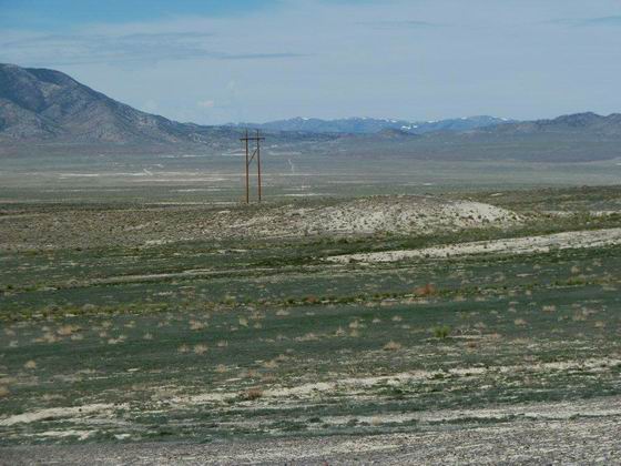
The trail heads southwest across Goshute Valley for water at various locations along Hardy Creek on the far side of the valley. Photo by Bill Bishell
* * * * * * * * * * * *
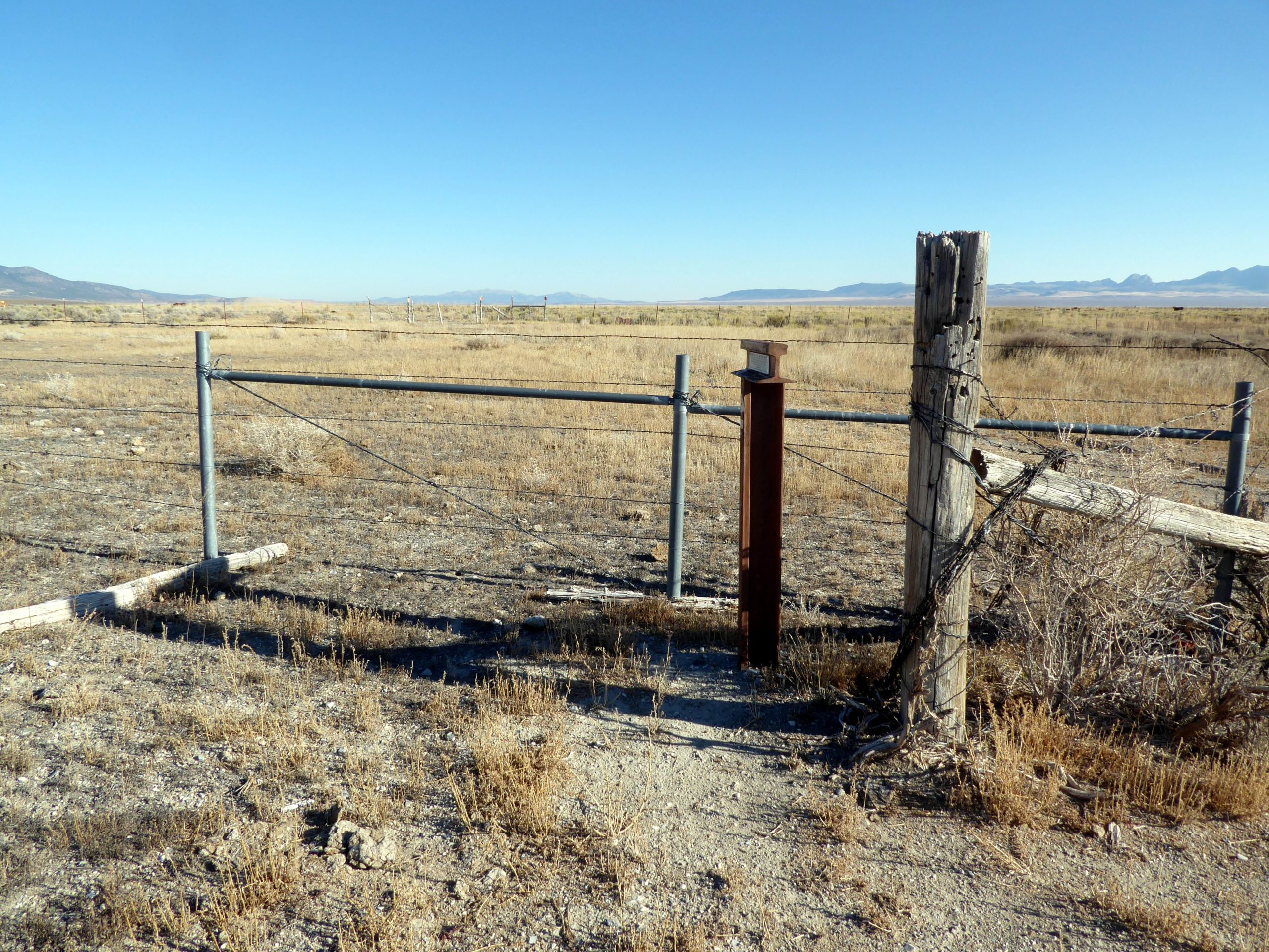
 HN-5 at Hardy Creek
Looking north on the east side of Hardy Creek which was the first water after the tiny spring near HN-3. Photo by Bill Bishell
* * * * * * * * * * * *

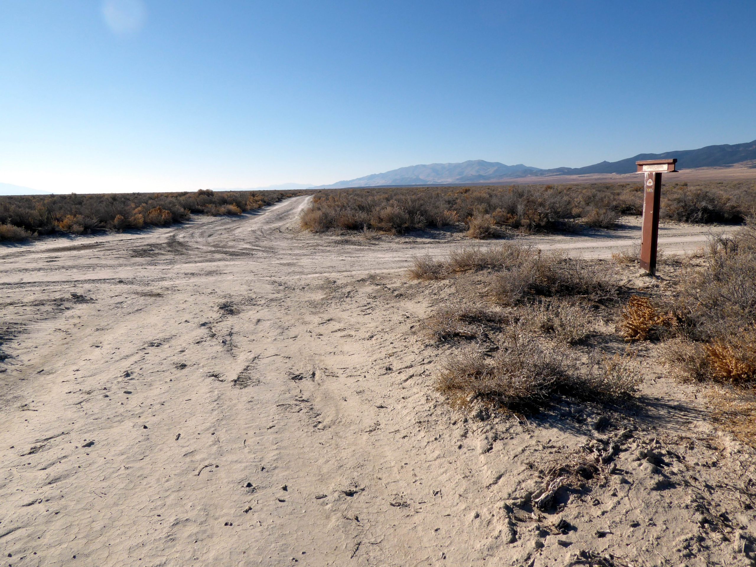
HN-6 on a Section of Original Trail
Looking south along the original trail from marker HN-6. Photo by Bill Bishell
* * * * * * * * * * * *
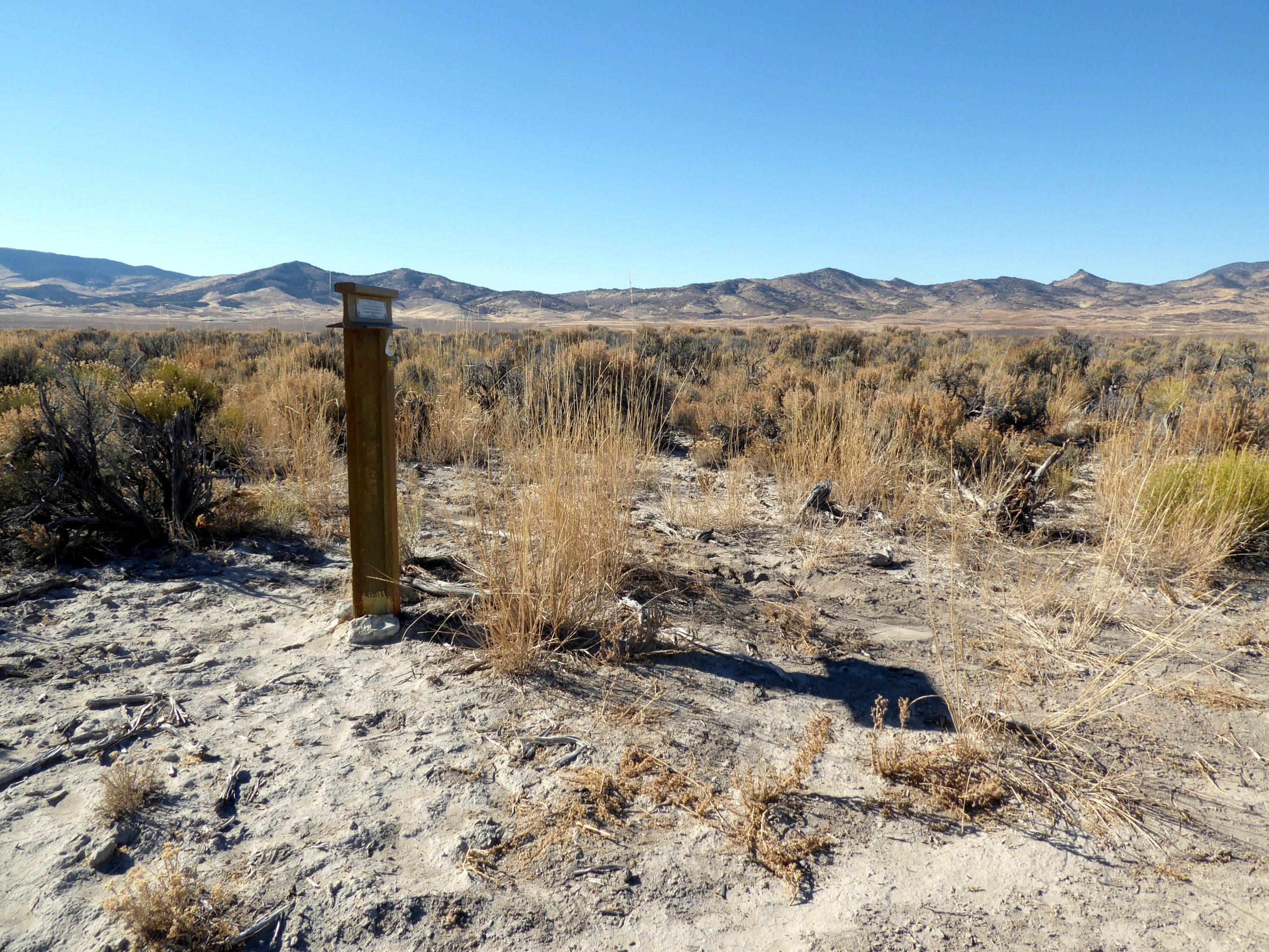
 LOOKING SW ALONG THE ORIGINAL TRAIL
Looking west from HN-7 at Flowery Lake. From here the trail heads west to cross the mountains. Photo by Bill Bishell
* * * * * * * * * * * *
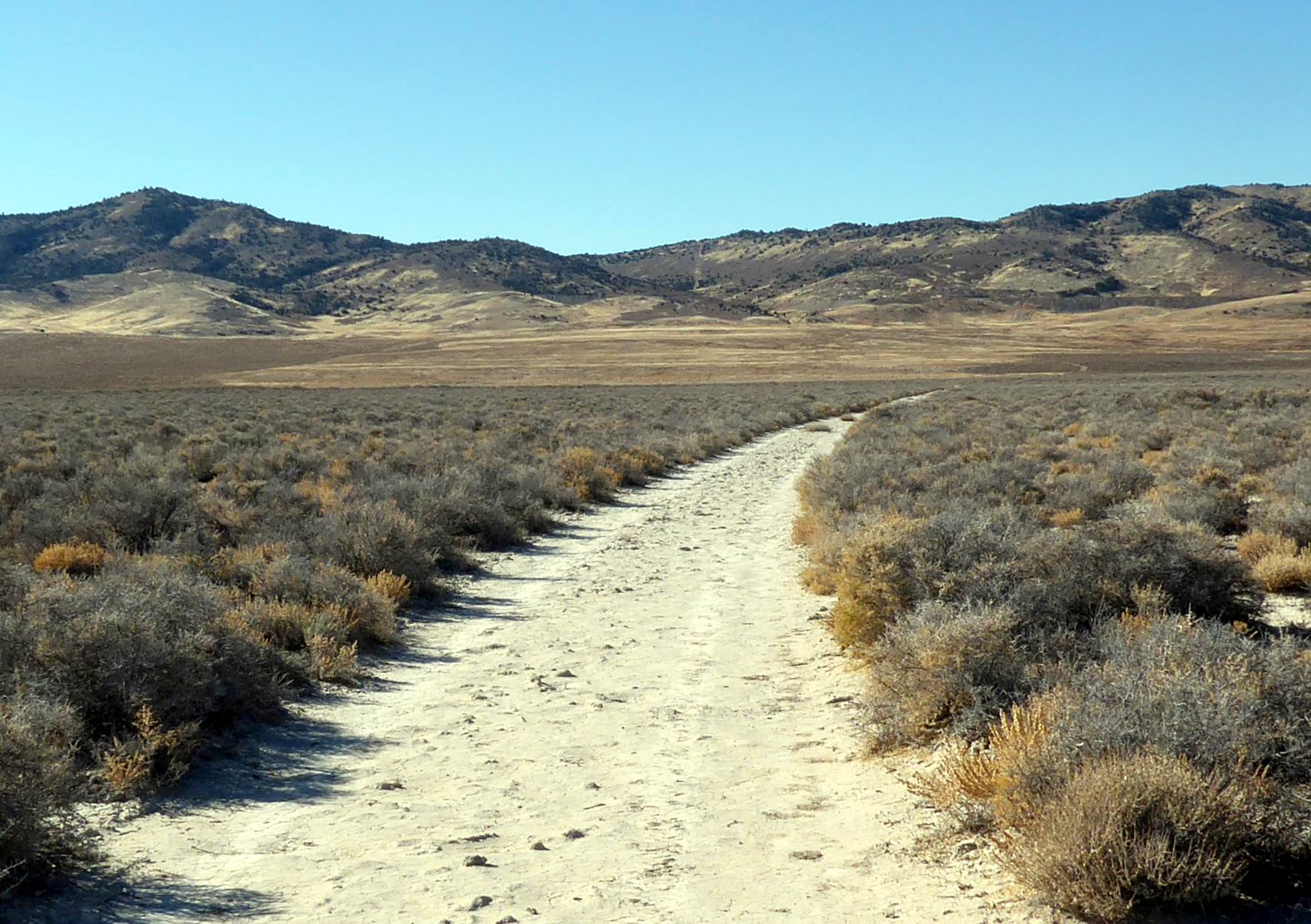
 TOWARD THE PEQUOP MOUNTAINS
The trail route heads west toward Flowery Lake Pass. Photo by Bill Bishell
* * * * * * * * * * * *
 FLOWERY LAKE PASS
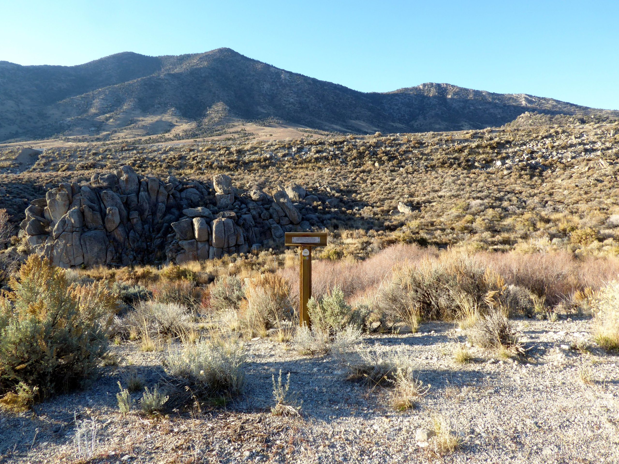
HN-8 just below Flowery Lake Pass where the emigrants crossed over to Independence Valley. Photo by Bill Bishell
* * * * * * * * * * * *
 MARKER HN-9
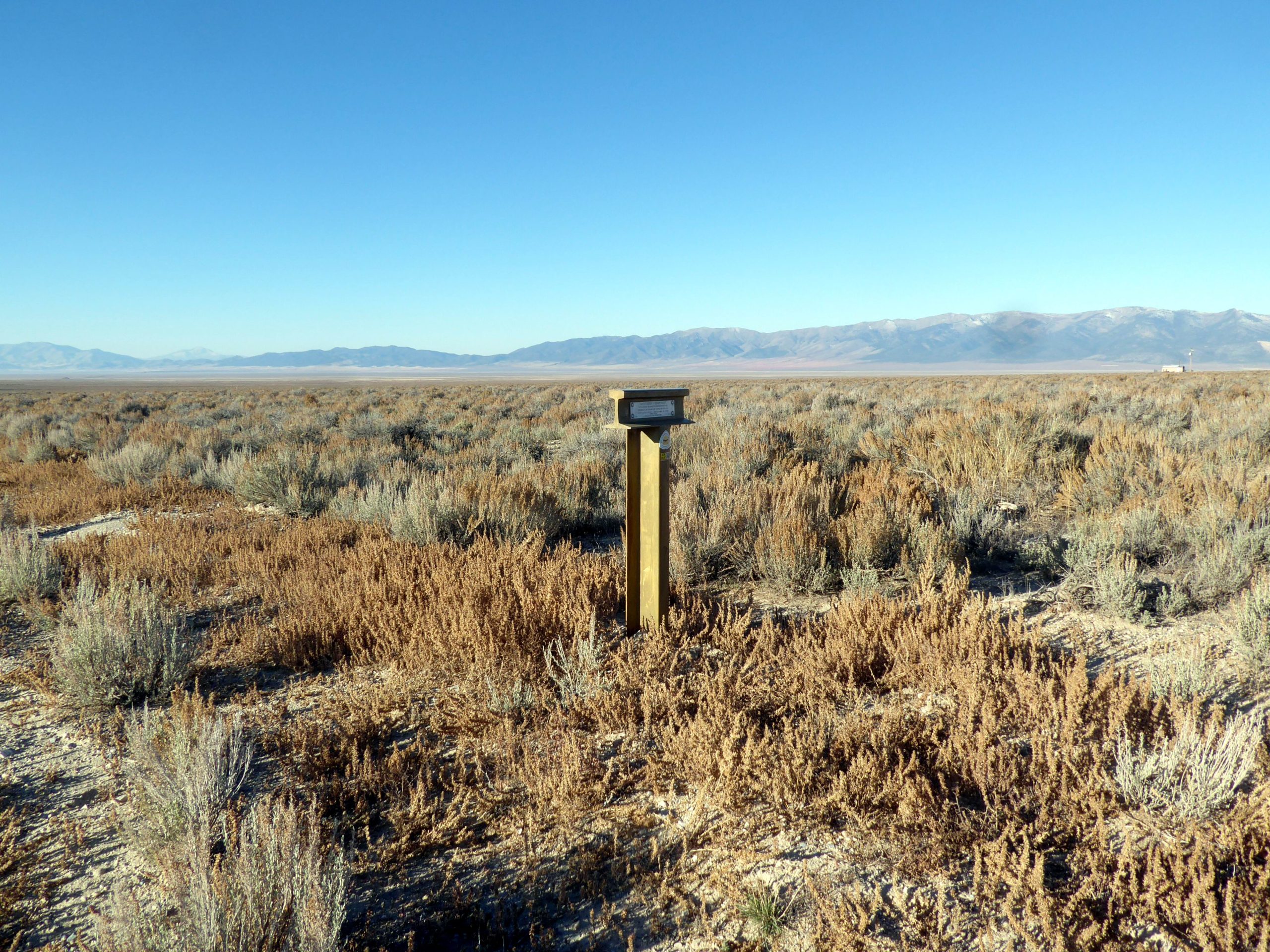
From the marker, the trail heads west across Independence Valley toward Mound Spring. Photo by Bill Bishell
* * * * * * * * * * * *
 MOUND SPRING
The emigrants stopped here to rest and water their livestock after crossing the dry Valley. This is a strange spring area where the ground flexes when you walk on it. The emigrants noted this in their diaries. Photo by Bill Bishell.
* * * * * * * * * * * *

THE TRAIL HEADING OVER SPRUCE MOUNTAIN
Looking west from HN-10 where the trail heads over Spruce Mountain. Photo by Bill Bishell
* * * * * * * * * * * *
 HEADING WEST OVER SPRUCE MOUNTAIN
The trail, now a dirt road, heads west over Spruce Mt. Pass toward Marker HN-11.
Photo by Bob Black
* * * * * * * * * * * *
 Marker HN-11
The trail passes Marker HN-11 and heads west across the valley toward highway 93 and Marker HN-12. Photo by Bob Black.
* * * * * * * * * * * *
 MARKER HN-12 NEAR WARM SPRINGS
Looking back towards Spruce Mountain from HN-12. Photo by Bill Bishell
* * * * * * * * * * * *
 MARKER HN-13
The trail heads southwest past the marker across the sagebrush covered slope toward modern Highway 229 and marker HN-14. Photo by Bill Bishell
* * * * * * * * * * * *
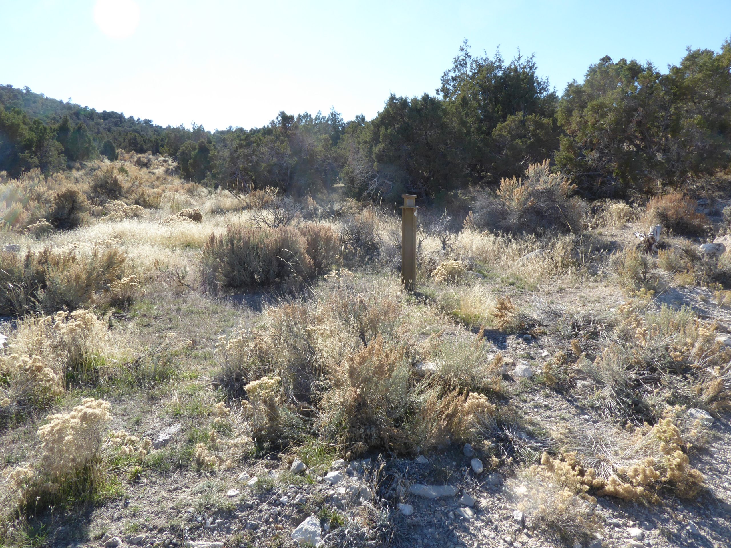
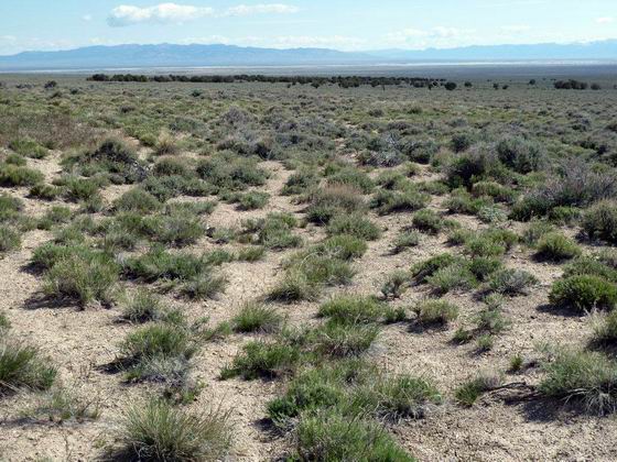
 LOOKING BACK EAST FROM MARKER HN-14
The original section of trail, back toward Highway 93 through the sagebrush, is marked by Carsonite posts. Photo by Bob Black.
* * * * * * * * * * * *
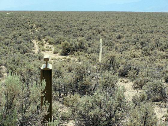
 LOOKING WEST ALONG THE TRAIL FROM MARKER HN-15
From the marker, the trail heads west across Ruby Valley toward Sulphur Hot Springs. Photo by Bob Black.
* * * * * * * * * * * *
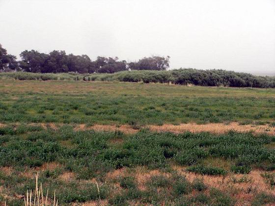
 SULPHER HOT SPRING NEAR MARKER HN-16
The trail route heads south along the flat ground, now an alfalfa field, along the eastern base of the Ruby Mountains. Photo by Bob Black.
* * * * * * * * * * * *
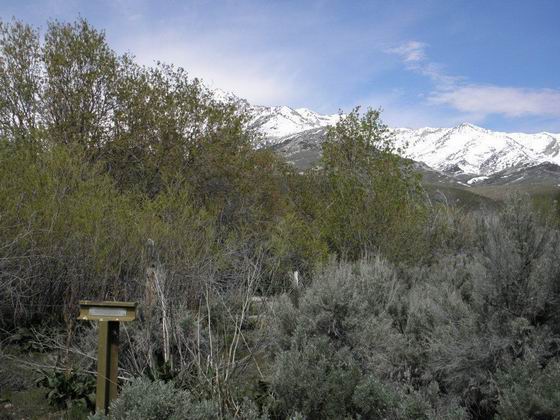
 MARKER HN-17
The marker is on the trail route along the base of the Ruby Mountains. It is located near the headquarters of one of the earliest cattle ranches in Ruby Valley. Photo by Bob Black.
* * * * * * * * * * * *

A 4-H WELCOME
This sign is located along the county road and trail route through Ruby Valley.
Photo by Bob Black.
* * * * * * * * * * * *

A VIEW OF THE RUBY MOUNTAINS FROM MARKER HN-18
The trail route continues south past Marker HN-18 and along the bench between the valley and the toe of the mountains. Photo by Bob Black.
* * * * * * * * * * * *
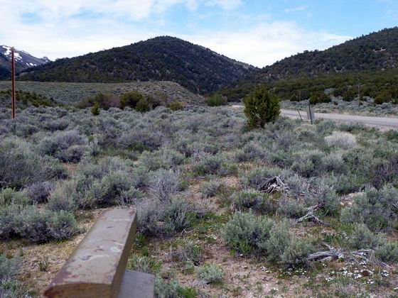
 LOOKING WEST TOWARD HARRISON PASS FROM MARKER HN-19
The Bidwell-Bartleson Pack Party of 1841 turned west and took a shortcut over this pass to Huntington Valley. Photo by Bob Black.
* * * * * * * * * * * *
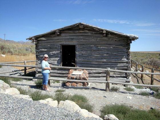
 BRESSMAN CABIN BETWEEN MARKERS HN-19 & HN-20
This cabin is typical of the cabins used by the early homesteaders in the Ruby Valley in the late 1800’s. Photo by Bob Black.
* * * * * * * * * * * *
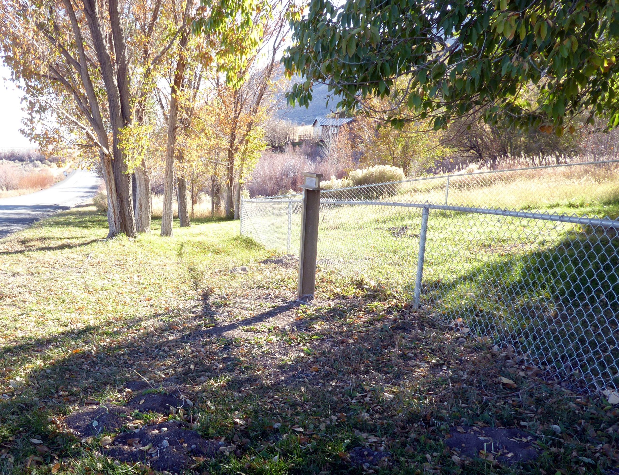
 HN-20 NEAR CAVE SPRING
The marker is located on the lawn in front of the headquarters building for the Ruby Lake National Wildlife Refuge. Photo by Bill Bishell
* * * * * * * * * * * *
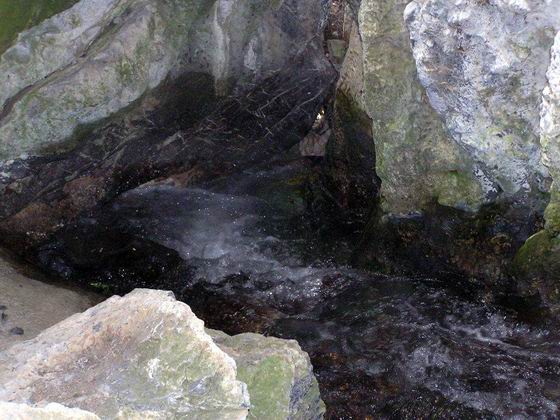
 CAVE SPRING
This clear, cold spring is the source of Cave Creek. It just pours out of the base of the mountain a short hike west from Marker HN-20. Photo by Bob Black.
* * * * * * * * * * * *
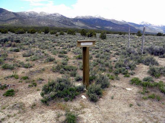
 JUNCTION WITH THE PONY EXPRESS TRAIL
The later Pony Express Trail joined the Hastings Cutoff near Marker HN-21 and followed it west over Overland Pass. Photo by Bob Black.
* * * * * * * * * * * *
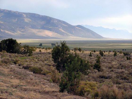
 LOOKING NORTH UP THE RUBY VALLEY FROM MARKER HN-21
This view shows the trail route along the west side of Ruby Valley at the foot of the Ruby Mountains. Photo by Bob Black.
* * * * * * * * * * * *
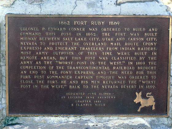
 HISTORICAL PLATE NEAR THE SITE OF OLD FORT RUBY
This plate gives the history of the old fort located near this site. Photo by Bob Black.
* * * * * * * * * * * *
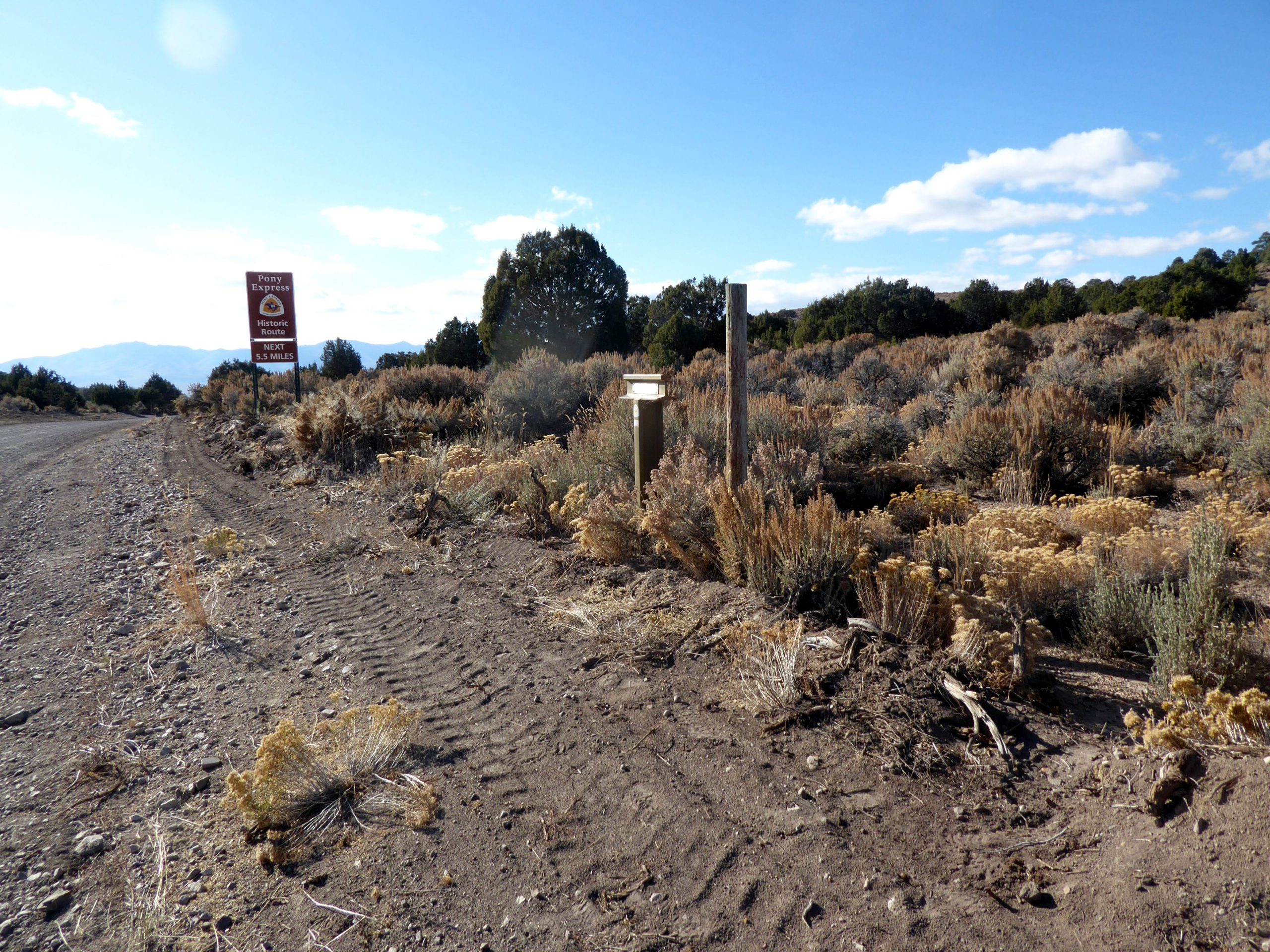
 OVERLAND PASS
Marker HN-22 is located at the pass along the route of the Hastings Cutoff and the Pony Express trail. Photo by Bill Bishell
* * * * * * * * * * * *
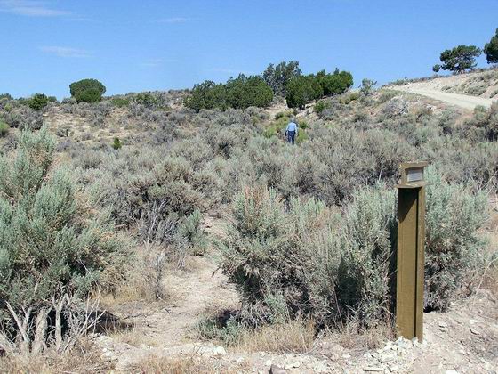
 THE TRAILS PART HERE AT MARKER HN-23
The trails branched here – the Hastings Cutoff headed north and the later Pony Express Route continued to the southwest. Photo by Bob Black.
* * * * * * * * * * * *
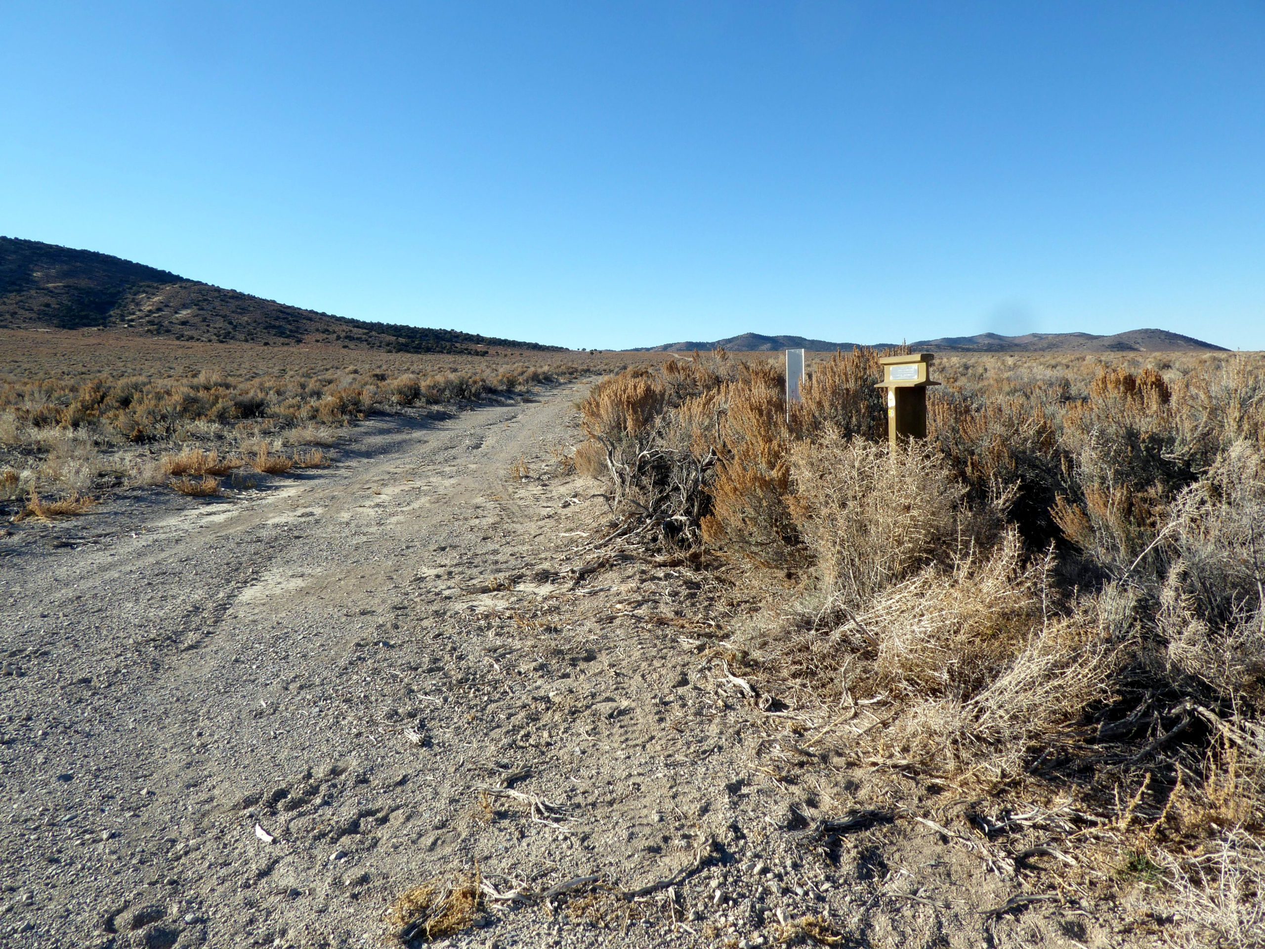
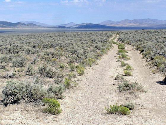
 NORTH UP HUNTINGTON VALLEY NEAR HN-24
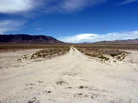
The trail, now a dirt road, heads northwest across the sandy, sage-covered terrain.
Photo by Bob Black.
* * * * * * * * * * * *
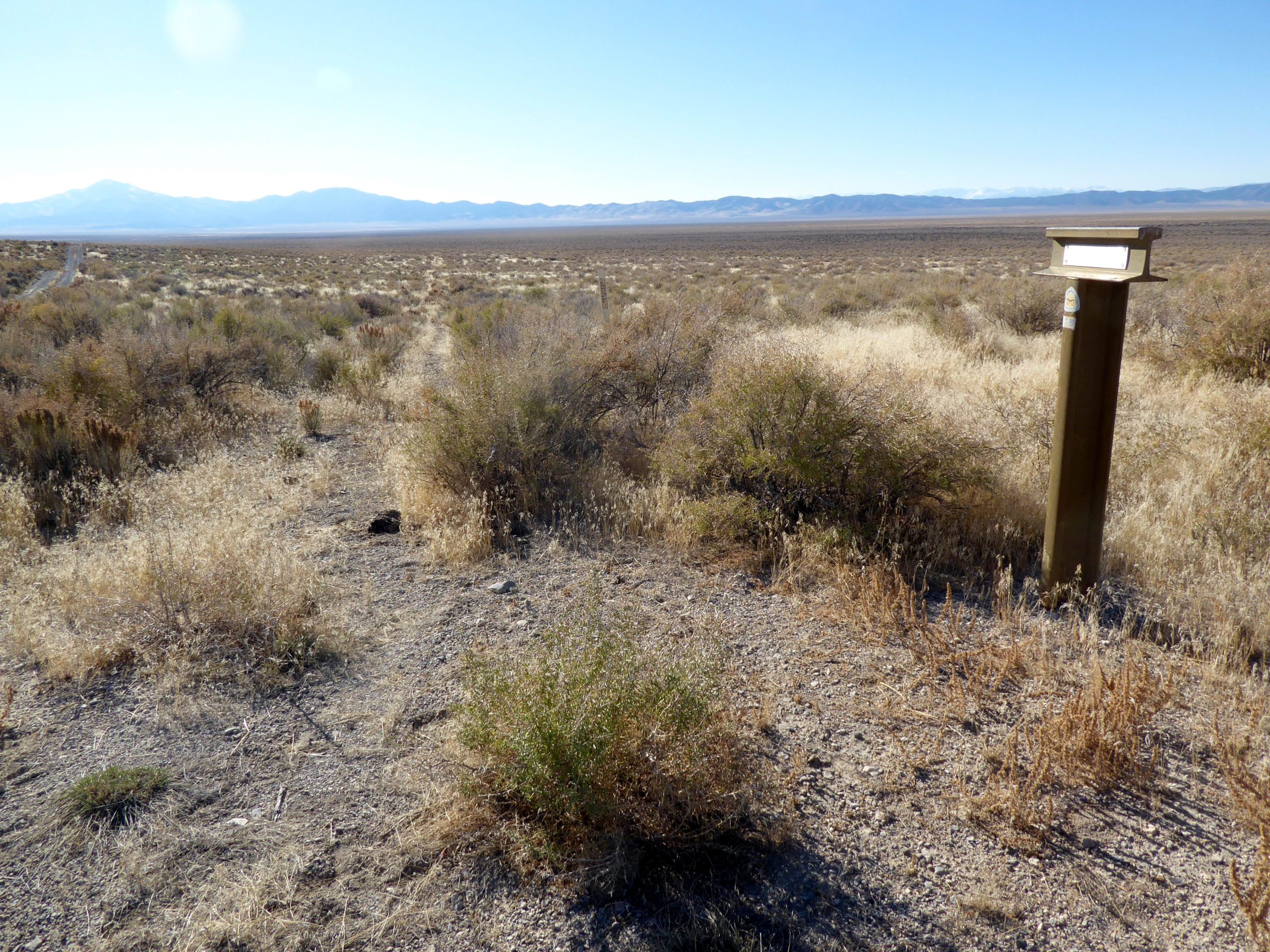
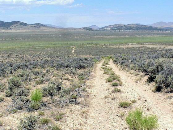
 A VIEW THE OTHER WAY
This view is looking southeast down the old dirt road from Marker HN-25 about 8 miles north of Marker HN-24. Photo by Bob Black.
* * * * * * * * * * * *
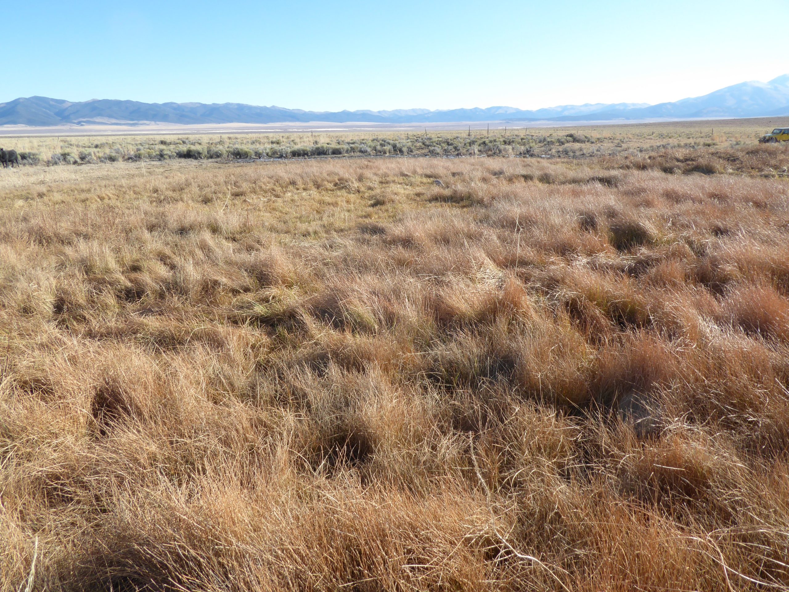
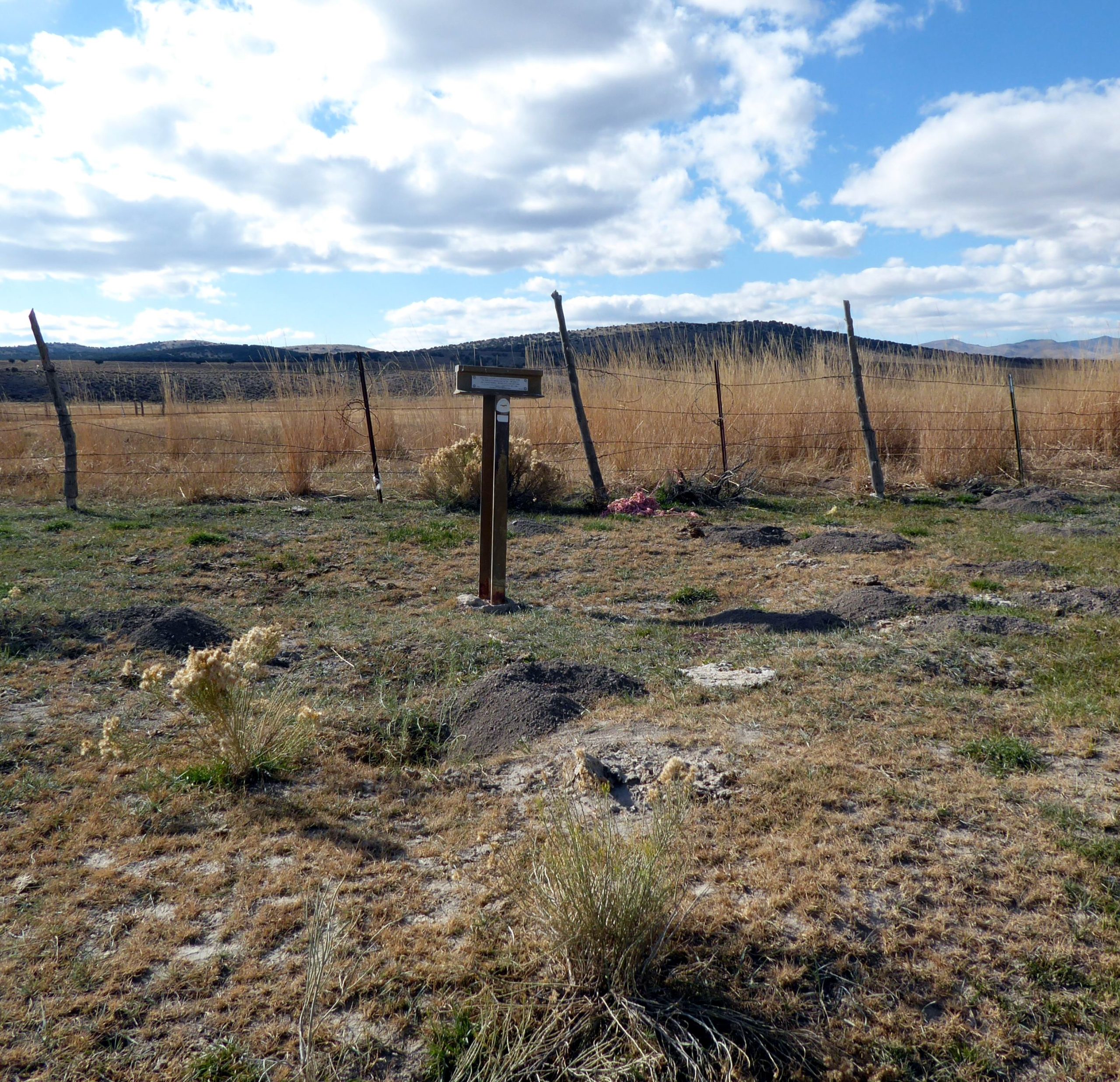
 HUNTINGTON CREEK
Marker HN-26 is along the trail route in the bottom of Huntington Valley. Photo by Bill Bishell
* * * * * * * * * * * *
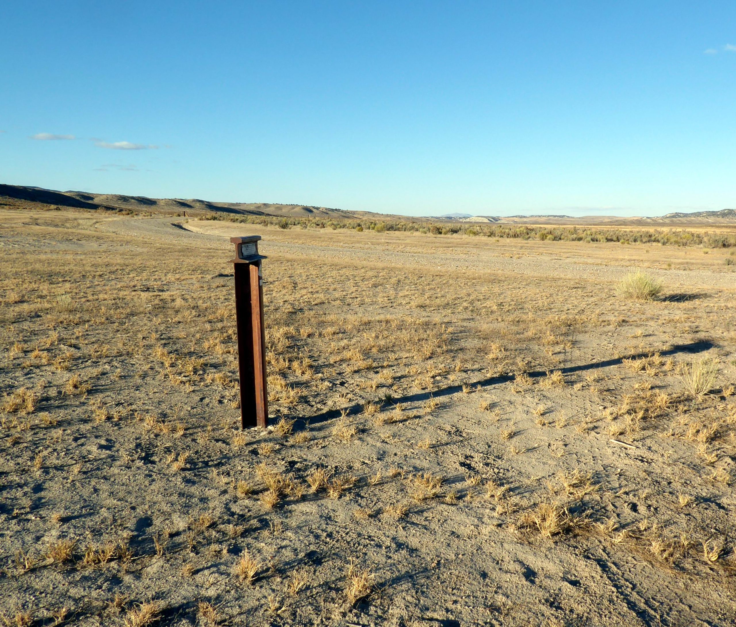
 STILL ALONG HUNTINGTON CREEK
Marker HN-28 is along the trail route and the creek and about twenty miles north of marker HN-27. Photo by Bill Bishell
* * * * * * * * * * * *
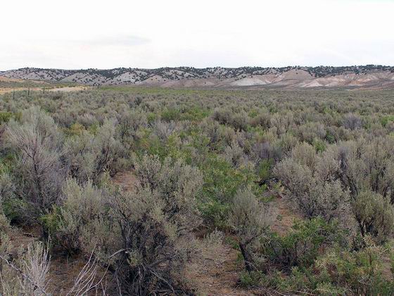
 LOOKING NORTH FROM MARKER HN-29
The Huntington Creek Valley is beginning to narrow down and the hillsides are now covered with sagebrush instead of grass. Photo by Bob Black.
* * * * * * * * * * * *
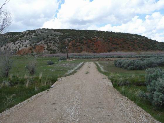
 RED BLUFF
At this location near Marker HN-30, Huntington Creek empties into the South Fork of the Humboldt River. Photo by Bob Black.
* * * * * * * * * * * *
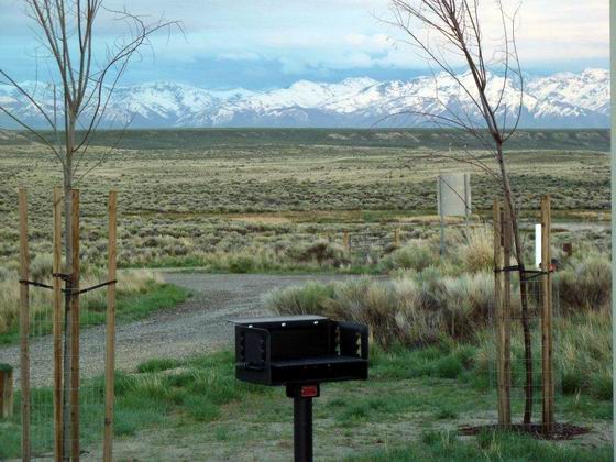
 SOUTH FORK CAMPGROUND
This scenic, modern campground is located about 4 miles north of Marker HN-30 on the route to Marker HN-31. It even has showers with hot water! Photo by Bob Black.
* * * * * * * * * * * *
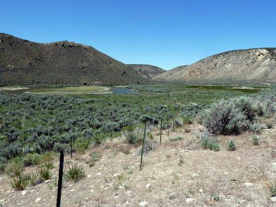
 ENTERING SOUTH FORK CANYON
A short distance north of Marker HN-31, the trail route enters the first section of the canyon of the South Fork of the Humboldt River. Photo by Bob Black.
* * * * * * * * * * * *
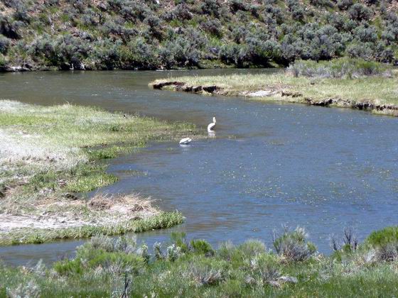
 THE HUMBOLDT RIVER NEAR MARKER HN-31
A solitary white pelican. Is it fishing or sunbathing? Photo by Bob Black.
* * * * * * * * * * * *
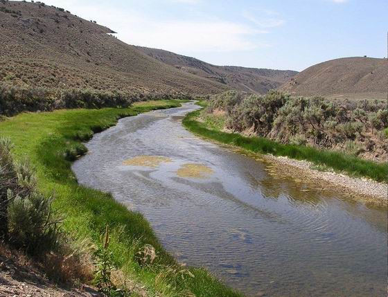
 MARKER HN-32 – WEST END OF THE FIRST CANYON
At the marker, there is a very scenic view up the river to the west end of the first canyon of the South Fork. Photo by Bob Black.
* * * * * * * * * * * *
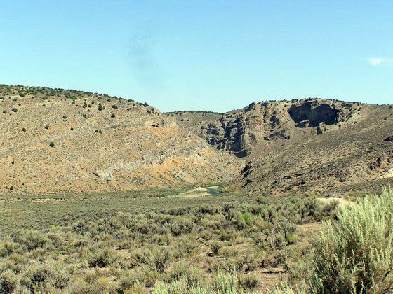
 EAST END OF THE SECOND CANYON
About 2 miles north of Marker HN-32, the river enters the second canyon of the South Fork. Photo by Bob Black.
* * * * * * * * * * * *
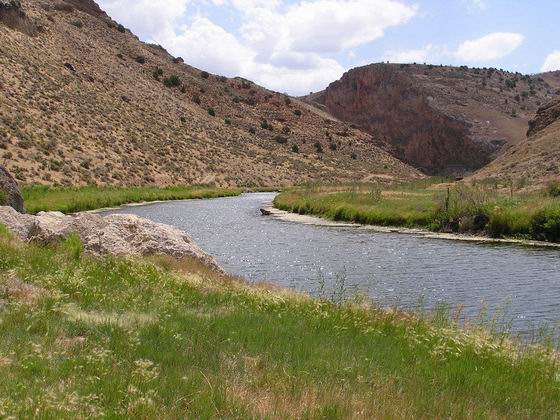
THE SOUTH FORK OF THE HUMBOLDT RIVER
This scenic view is up the river from Marker HN-33 toward the west end of the second canyon of the South Fork of the Humboldt River. Photo by Bob Black.
* * * * * * * * * * * *
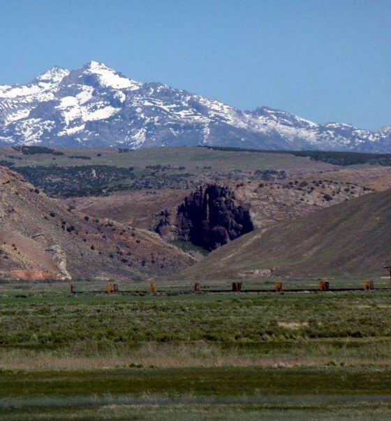
 THE MOUTH OF THE SECOND CANYON
This is the view east to the mouth of the South Fork Canyon from the east side of Interstate 80 near the BLM Trail Interpretive Center at exit #292. Photo by Bob Black.
* * * * * * * * * * * *
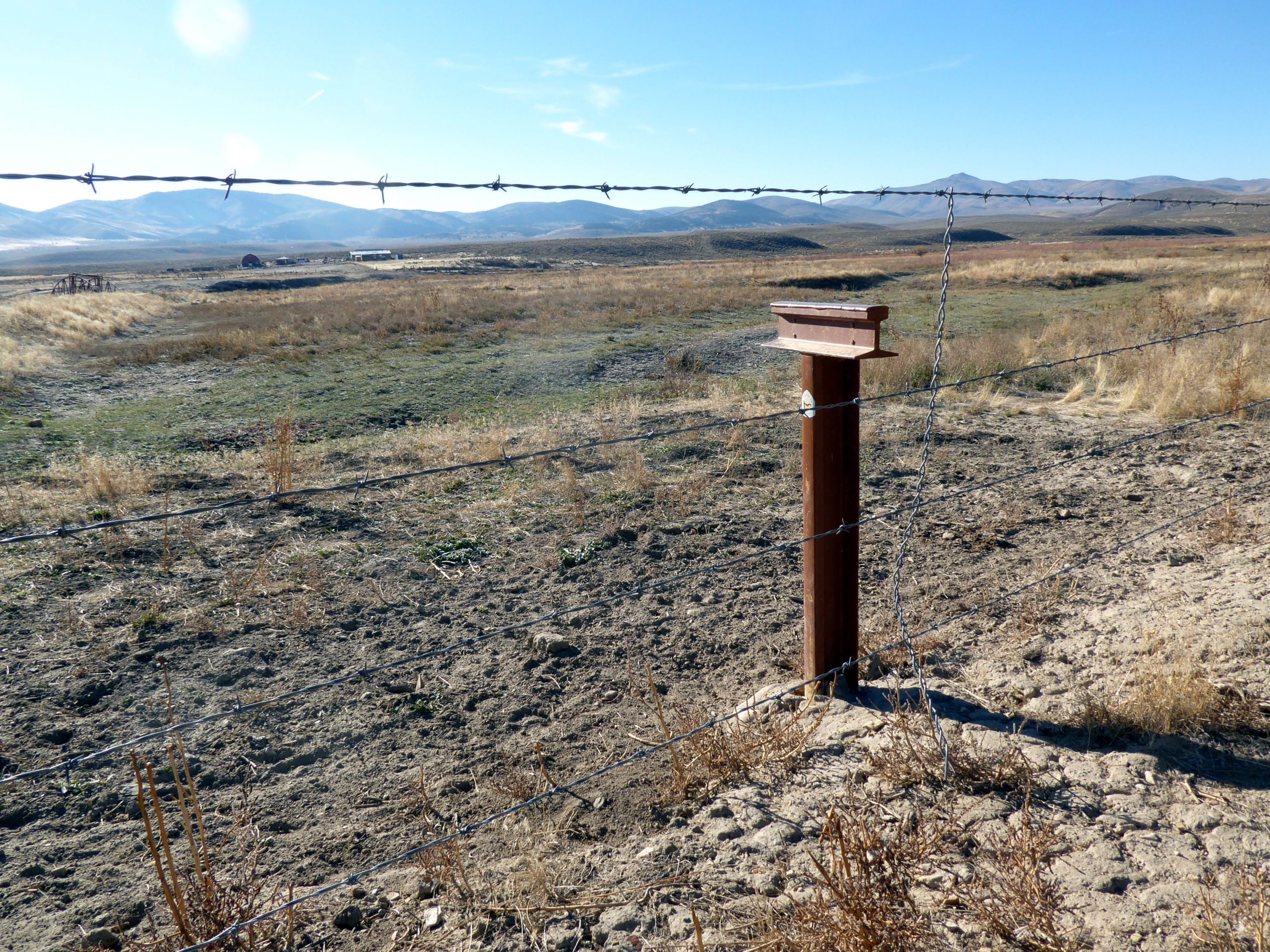
 MARKER HN-34
This is the end of the Hastings Cutoff where it joined the California Trail and continued on to California. The actual intersection is about 100 yards past the marker on the other side of the Humboldt River. The marker was placed here rather on the other side of the river as that is on private property. Photo by Bill Bishell
We hope you have enjoyed this photo tour of some of the Hastings Cutoff. If you are interested in driving this trail be sure to get a copy of our Driving Guide:
Hastings Cutoff & Pack Trails Driving Guide for Wyoming, Utah & Nevada
Markers HW-1 through HN-34
&
PT-1/HN-1A through PT-14
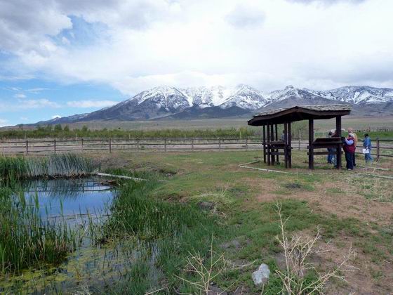 LOOKING WEST FROM DONNER SPRING
 HEADING WEST FROM MARKER HU-24 AT MUNSEE SPRING
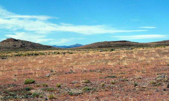 LOOKING SW FROM THE TRAIL NEAR THE UTAH STATE LINE
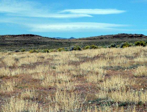 WEST TOWARD BIDWELL PASS
 ACROSS THE VALLEY
 LOOKING WEST FROM MARKER HN-2
 SILVER ZONE PASS
 MARKER HN-4
 HN-5 at Hardy Creek
 LOOKING SW ALONG THE ORIGINAL TRAIL
 TOWARD THE PEQUOP MOUNTAINS
 FLOWERY LAKE PASS
 MARKER HN-9
 MOUND SPRING
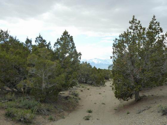 HEADING WEST OVER SPRUCE MOUNTAIN
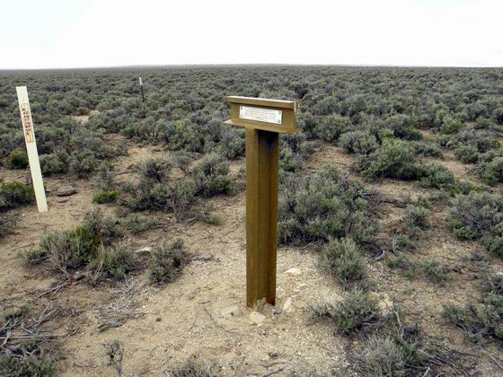 Marker HN-11
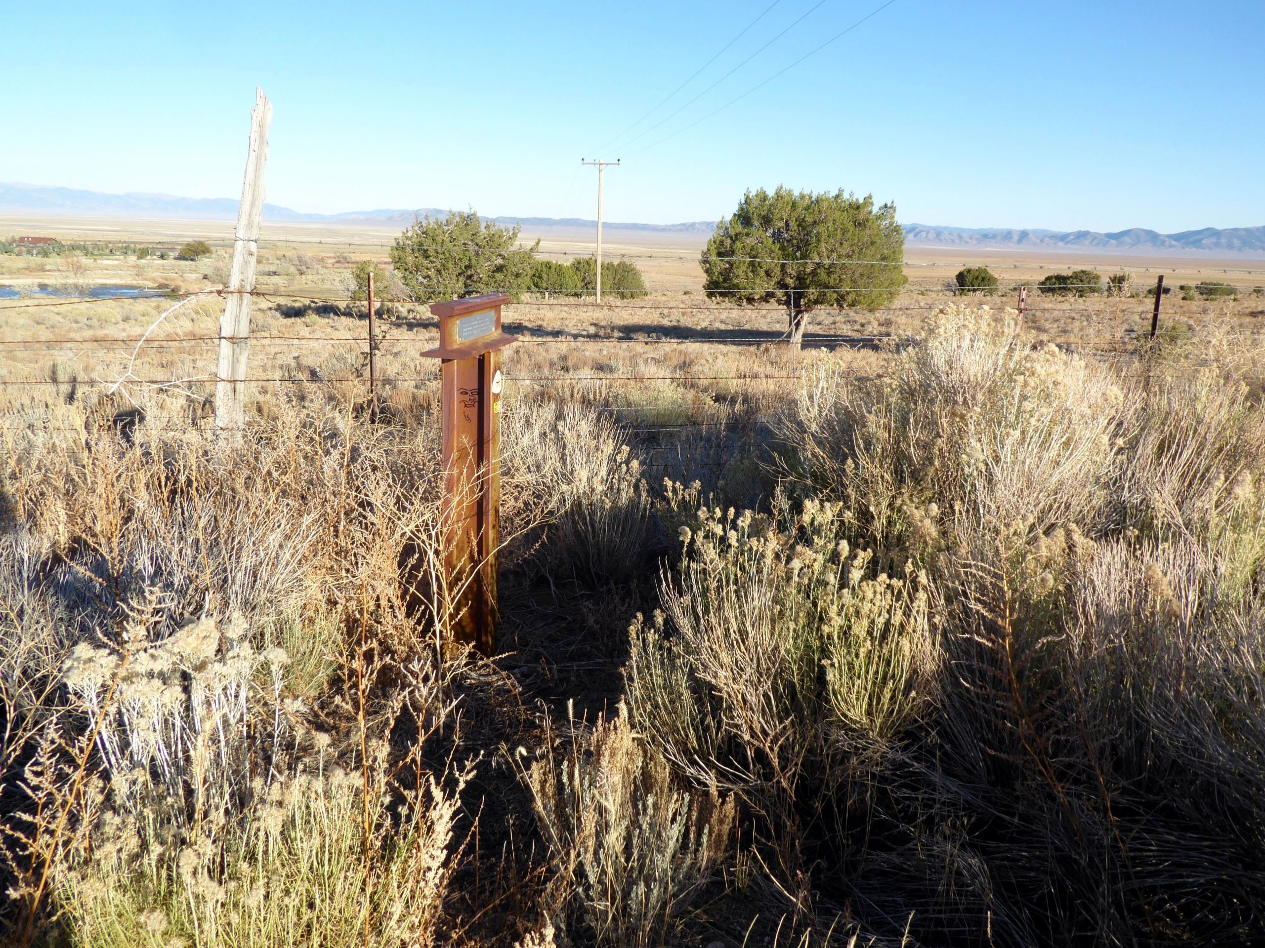 MARKER HN-12 NEAR WARM SPRINGS
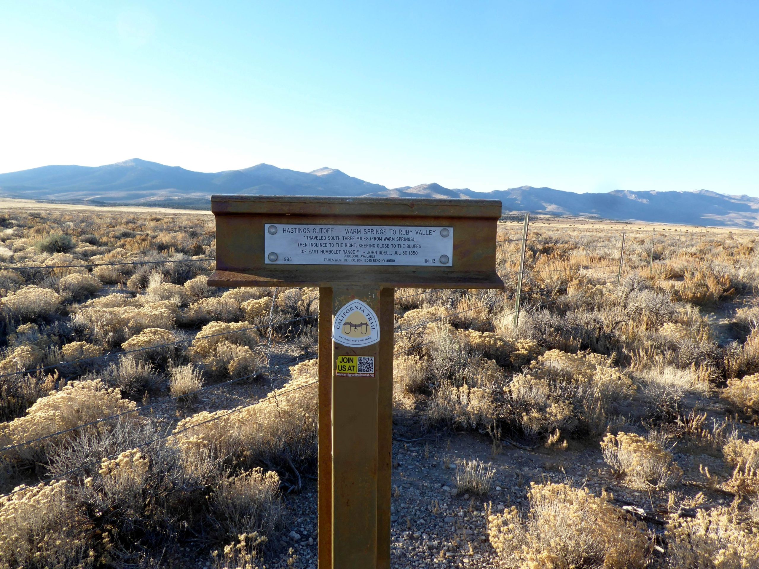 MARKER HN-13
 LOOKING BACK EAST FROM MARKER HN-14
 LOOKING WEST ALONG THE TRAIL FROM MARKER HN-15
 SULPHER HOT SPRING NEAR MARKER HN-16
 MARKER HN-17

 LOOKING WEST TOWARD HARRISON PASS FROM MARKER HN-19
 BRESSMAN CABIN BETWEEN MARKERS HN-19 & HN-20
 HN-20 NEAR CAVE SPRING
 CAVE SPRING
 JUNCTION WITH THE PONY EXPRESS TRAIL
 LOOKING NORTH UP THE RUBY VALLEY FROM MARKER HN-21
 HISTORICAL PLATE NEAR THE SITE OF OLD FORT RUBY
 OVERLAND PASS
 THE TRAILS PART HERE AT MARKER HN-23
 NORTH UP HUNTINGTON VALLEY NEAR HN-24
 A VIEW THE OTHER WAY
 HUNTINGTON CREEK
 STILL ALONG HUNTINGTON CREEK
 LOOKING NORTH FROM MARKER HN-29
 RED BLUFF
 SOUTH FORK CAMPGROUND
 ENTERING SOUTH FORK CANYON
 THE HUMBOLDT RIVER NEAR MARKER HN-31
 MARKER HN-32 – WEST END OF THE FIRST CANYON
 EAST END OF THE SECOND CANYON
 THE MOUTH OF THE SECOND CANYON
 MARKER HN-34