The Beckwourth Trail was one of the significant trails that crossed the Sierra. Its main claim to fame was that it had the lowest elevation crossing of the mountains and was a much needed alternative to the difficult mountain crossings on the Carson and Truckee Trail routes. It departed from the Truckee Trail in present day Sparks, Nevada and headed west to Marysville, California.
One of the unusual pieces of history is that the trail was opened by Jim Beckwourth, the son of a black slave woman and her white owner. Jim was freed by his father. He later moved to the American west where he was a successful fur trapper and Indian fighter. He went to California during the gold rush and while exploring the country in northern California, he came to know the mountains northwest of present day Reno, Nevada. It became obvious to him that he had discovered a much better pass over the Sierra than the ones on the trails farther south. He convinced the townspeople of Marysville, California that he could construct a wagon road that would allow emigrants to travel to their town. He made an agreement with the mayor and then went about the business of constructing the “trail” that would be named after him.
Jim never collected the money that he was owed from the townspeople of Marysville as they had just suffered two huge fires and were unable to pay him. He then turned to ranching along his wagon road in today’s Sierra Valley. He spent several years there in the 1850’s and later moved back to Missouri and then to Denver. During this time he was a storekeeper and an agent for Indian affairs.
When he was in his 60’s he returned to trapping for furs and also worked as a scout for the Army at Fort Laramie and Fort Kearny. In 1866 he became ill and returned to the Crow Indians with whom he had lived for many years. He passed away in October of that year and was interred by his Indian friends in an unmarked grave.
 Jim Beckwourth
BECKWOURTH TRAIL PHOTO TOUR
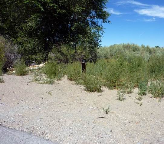 B-1 AT THE FORKS OF THE TRAIL
This site is where the Beckwourth Trail forded the Truckee River and headed north. The next few miles of the trail are mainly in the city of Sparks and there is no original trail to be seen.
Photo by Bill Bishell
* * * * * * * * * * * *
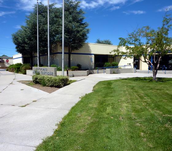
 MARKER B-2 AND THE TRAIL IS HEADING NORTHWEST
The sage plain is no longer here, and the City of Sparks courthouse in now on the trail location. Photo by Bill Bishell
* * * * * * * * * * * *
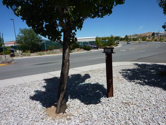
 NEAR B-3 THE TRAIL BEGAN TO CLIMB UP THE FOOTHILLS
We’re still in an urban area at this marker as the trail heads northwest and climbs away from the Truckee River. Photo by Bill Bishell
* * * * * * * * * * * *
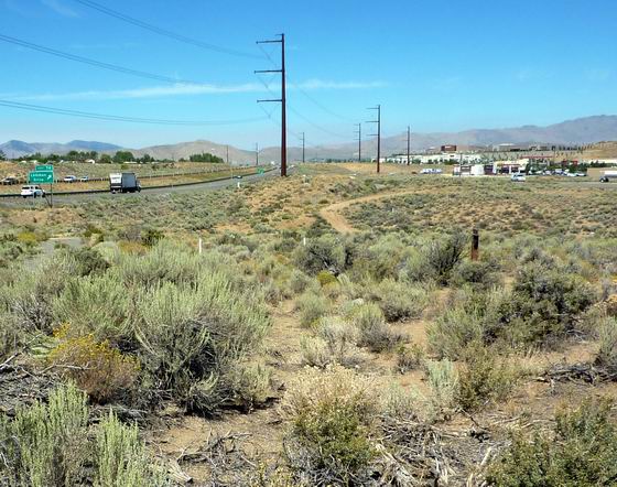
 THE TRAIL CONTINUED ACROSS GOLDEN VALLEY AT B-4
We are still heading northwest, but are finally getting out of the current urban sprawl. At this location, there is some great original trail. It is in the center of the photo, but mostly hidden in the sagebrush. Also just to the left of the trail is a section of a macadam road which was the first paved road in Nevada. To the left of that is the current 395 freeway.
Photo by Bill Bishell
* * * * * * * * * * * *
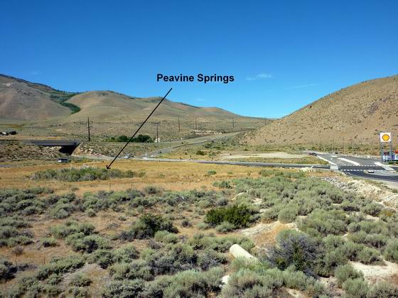
 PEAVINE SPRINGS WAS AN IMPORTANT WATERING SPOT
Marker B-5 is at Peavine Springs. This was an important stopping point along the trail as it was the first water the emigrants came to after leaving the Truckee River.
Photo by Bill Bishell
* * * * * * * * * * * *
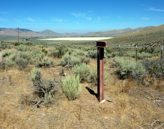
 PASSING B-6 WHITE LAKE CAME INTO VIEW
As the emigrants crossed over the low saddle north of Peavine Springs they saw this small dry lake in the distance. They called it White Lake and the name is still used today. On the northern side of the playa is where the emigrants crossed into California, but most of them didn’t know it at the time. Photo by Bill Bishell
* * * * * * * * * * * *
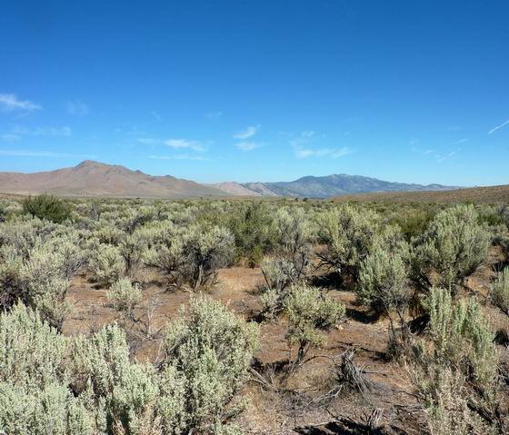
 FROM B-7 THE PASS WAS VISIBLE IN THE DISTANCE
Long valley was easy going for the wagons as they headed north to Beckwourth Pass. The present day railroad and highway 395 also head up this valley. Photo by Bill Bishell
* * * * * * * * * * * *
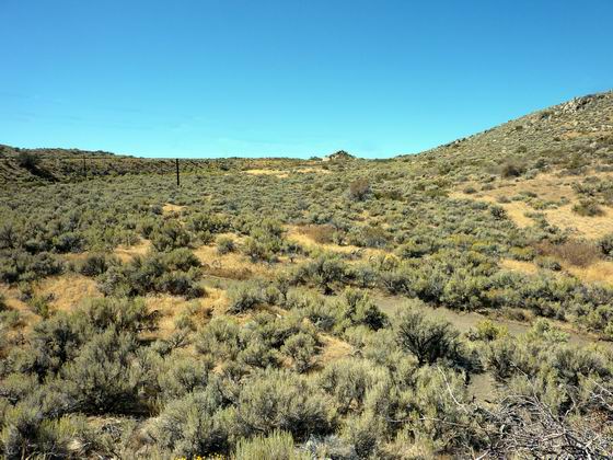
 BECKWOURTH PASS
This is the lowest pass for crossing the Sierra at 5,221 feet. It is actually just a rolling saddle that the wagons could be pulled up and over with no problems. Compared with most of the other passes crossing the Sierra this pass was a walk in the park. However, there were a few difficult places ahead to make up for this easy crossing. Photo by Bill Bishell
* * * * * * * * * * * *
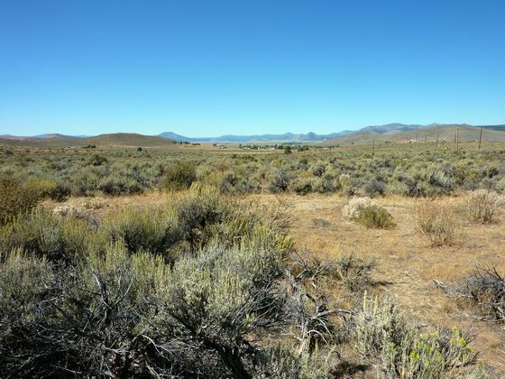
 THE WEST SIDE OF THE PASS AND SIERRA VALLEY
Marker B-8 is just ahead in this photo, but it is hidden in the sagebrush. This is where the trail began a gradual descent into what they called Beckwourth (now Sierra) Valley which is only a few hundred feet lower than the pass. Photo by Bill Bishell
* * * * * * * * * * * *
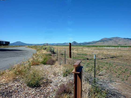
 AT B-9 THE TRAIL HEADED TOWARDS THE LITTLE PEAK IN THE DISTANCE
This long east-west running valley was a nice change for the emigrants as it was the headwaters for the Feather River and there was an abundance of water and grass. Also, the fishing was good in the river. Photo by Bill Bishell
* * * * * * * * * * * *
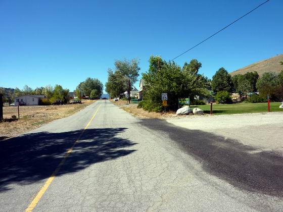
 AT B-10 THE TRAIL NOW PASSES THROUGH THE TOWN OF BECKWOURTH
Our marker is located in the present town of Beckwourth. Many years later, the trail evolved into the town’s Main Street. Photo by Bill Bishell
* * * * * * * * * * * *
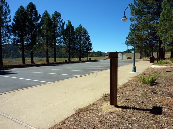
 JUST PAST T-11 THE TRAIL FORKED
Just beyond here the trail splits with the Beckwourth Trail turning north. This marker is in the Caltrans rest area and there is a nice plaque presenting information about the trail.
Photo by Bill Bishell
* * * * * * * * * * * *
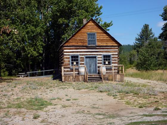
 JUST PAST T-11 IS THE BECKWOURTH MUSEUM
This is the Jim Beckwourth museum. He often provided provisions to wagons passing along the trail from either his home or his trading post which were located in this area.
Photo by Bill Bishell
* * * * * * * * * * * *
 LOOKING UP GRIZZLY CREEK TOWARDS B-12
This is where the trail heads north and follows up Grizzly Creek. Photo by Bill Bishell
* * * * * * * * * * * *
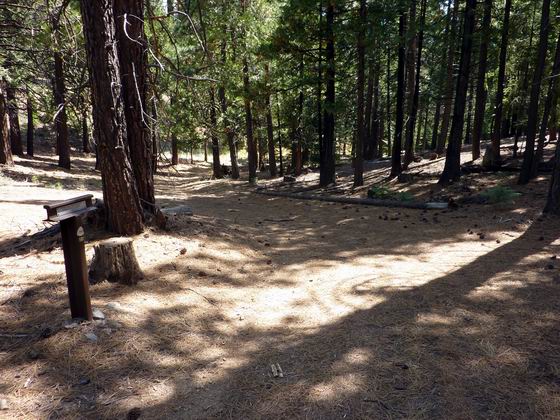
 LOOKING BACK DOWN THE TRAIL AT MARKER B-12
This view is looking back (south) down the trail trace at marker B-12. In this area, the trail is heading north to present day Lake Davis where the trail will again turn to the west.
Photo by Bill Bishell
* * * * * * * * * * * *
 B-13 ENTERING GRIZZLY VALLEY
The trail once again heads northwest but has been inundated by Lake Davis. The trail leaves the lake on the west side where traces are once again visible. Photo by Bill Bishell
* * * * * * * * * * * *
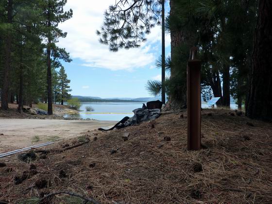
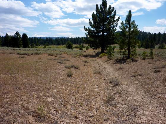
 LOOKING DOWN THE TRAIL AT B-14
This is the actual trail trace in the photo. For the past few miles and for many miles to go, the emigrants will be passing through a lot of timber. The large trees mentioned in Owen’s diary have all been logged, and his estimate of their size was a little exaggerated.
Photo by Bill Bishell
* * * * * * * * * * * *
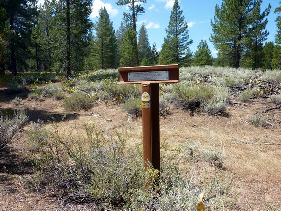
 B-15 IN GRIZZLY VALLEY
They have been traveling up Grizzly Valley for miles now and it is a wonderful area for the emigrants. Lots of game, fish, water, grass and the trail is level. Photo by Bill Bishell
* * * * * * * * * * * *
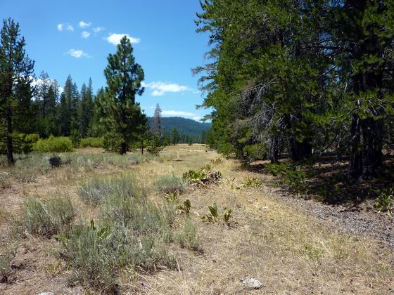
 B-16 BIG GRIZZLY CREEK
The trail is still in Grizzly Valley at this point, but one of the toughest places on the trail can be seen in the center of the photo. That is Grizzly Ridge. Photo by Bill Bishell
* * * * * * * * * * * *
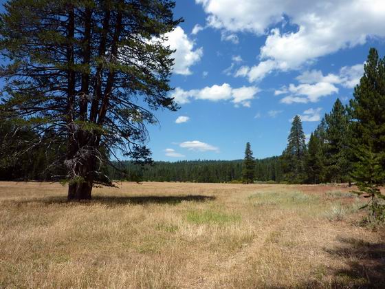
 B-17 IN GRIZZLY VALLEY
The trail is still following the valley with everything the emigrants needed close at hand. There are good trail traces along this location too. Blakeless Creek drains into the valley and was good place to fish. Photo by Bill Bishell
* * * * * * * * * * * *
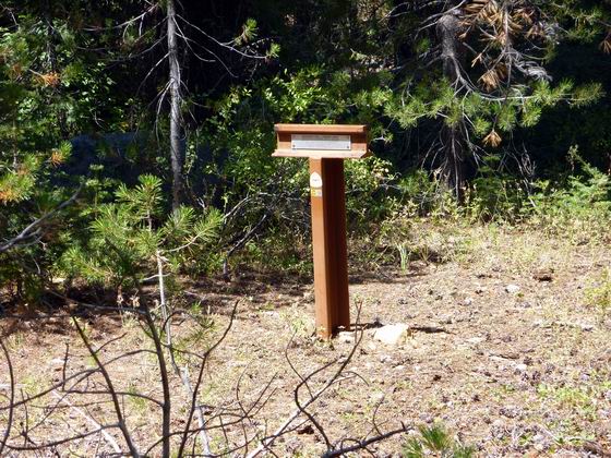
 CROSSING EMIGRANT CREEK
In later years, this creek was named Emigrant Creek after all the folks that passed along the trail. After crossing this small stream the trail left the level valley and began one of the steepest and toughest sections of the trail. This is the climb up onto Grizzly Ridge.
Photo by Bill Bishell
* * * * * * * * * * * *
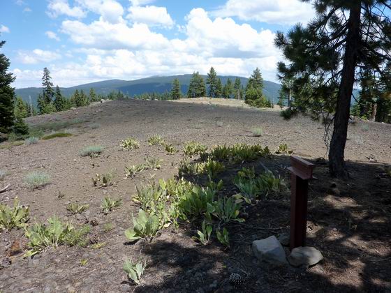
 B-19 IS LOCATED ON THE ONLY LEVEL SECTION OF GRIZZLY RIDGE
This photo is looking back along the trail and is one of the few spots where a picture can be taken due to the heavy timber growing on both sides of the ridge.
One woman’s diary mentions that the trail was so steep that she had to carry her two infant children. There was no way she could carry both at the same time so she carried one a short way up the mountain, dug out a shallow hole to place the first child in while she went back for the other. She then leapfrogged up the mountain in this manner. Photo by Bill Bishell
* * * * * * * * * * * *
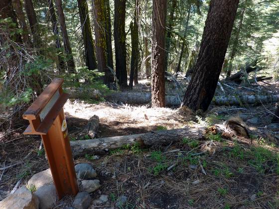
 B-20 THE GRIZZLY RIDGE DESCENT
At this point, the wagons were just starting their descent off of the ridge. The trail is so steep here that it is difficult to even stand on it without hanging on to a tree. The emigrants cut down trees and tied them to the back of each wagon to slow their descent. It’s amazing, but there is no record of a wagon being lost on this ridge. Photo by Bill Bishell
* * * * * * * * * * * *
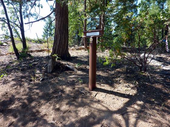
 AT B-21 THEY WERE ABOUT HALF WAY DOWN THE RIDGE
The ridge began leveling off at this point, but it was still a long way to the valley floor and the Feather River where they could finally rest. Photo by Bill Bishell
* * * * * * * * * * * *
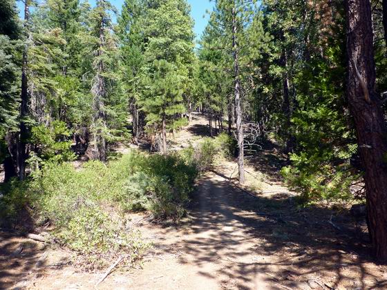
 LOOKING BACK UP THE TRAIL
This is a fairly level section of trail near the lower end of the ridge. Wherever possible the trail stayed on the ridge top as the wagons could not travel along the side of a slope as they would roll over. Photo by Bill Bishell
* * * * * * * * * * * *
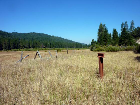
 LOOKING WEST FROM B-22 AT SPRING GARDEN
The trail finally dropped down to the level valley floor where there was water and good grass. It must have been a great relief to the emigrants. They were also approaching an area called American Valley and there were a few ranches located in the area.
Photo by Bill Bishell
* * * * * * * * * * * *
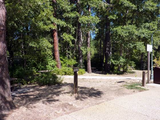
 B-23 IS IN GREENHORN CREEK CANYON
While our marker is located along highway 89/70 in a rest area it was not pleasant traveling for the emigrants as the trail was located in the narrow river valley. This location forced the emigrants to travel in the riverbed and to cross the river many times. Photo by Bill Bishell
* * * * * * * * * * * *
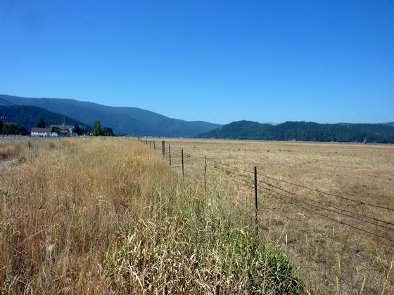
 IN THIS AREA THE TRAIL IS PASSING THROUGH SEVERAL RANCHES
In the area of marker B-24 the trail is approaching American Valley (now the town of Quincy) from the north. Several ranches had been developed in the area and the emigrants stopped at them for much needed supplies including fresh vegetables, butter, etc. that hadn’t been available to them for months. This area was really the first permanent settlement they had come across since leaving the St. Louis area. Photo by Bill Bishell
* * * * * * * * * * * *
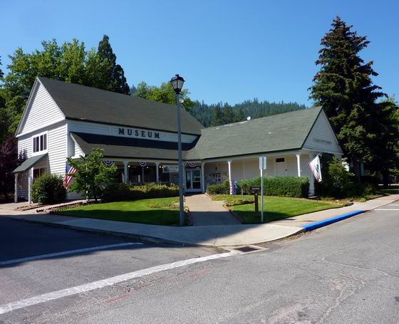
 AMERICAN RANCH
Marker B-24A is in front of the Plumas County museum which is worth a visit. They have wonderful exhibits covering the history of Plumas County and the miners and emigrants that settled the area.
When inside, inquire about a tour through the house behind the museum which was built by one of the emigrants that made it to Marysville but decided to return to beautiful American Valley which is now the town of Quincy. Photo by Bill Bishell
* * * * * * * * * * * *
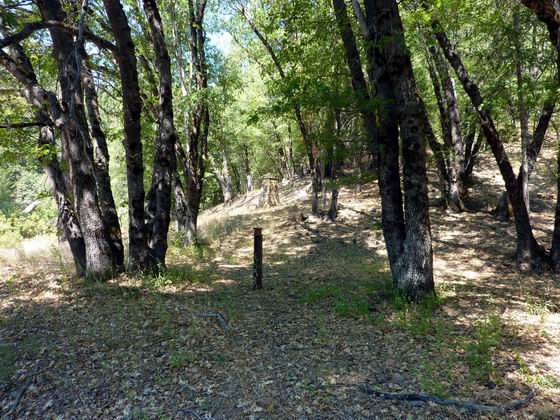
 THE CLIMB OUT OF AMERICAN VALLEY AT B-25
This is where the trail left American Valley and passed through a small mining camp named Elizabethtown. There is not much left here now, but there is a nice monument that can be seen in the background behind the marker in the photo.
For the next few miles the trail became very hilly with many steep grades.
Photo by Bill Bishell
* * * * * * * * * * * *
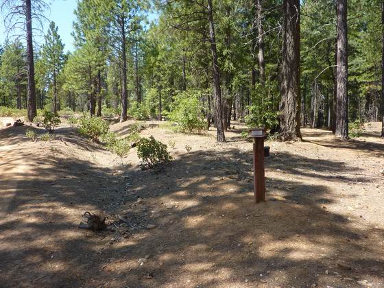
 B-26 CLIMBING TO THE SUMMIT
The swale to the left of the marker is the actual trail. The trail is still climbing up above Elizabethtown. The section of trail from B-24A to B-29 swings to the north and west to bypass the narrow drainage and steep draw of Spanish Creek which was impassable to wagons at that time. Photo by Bill Bishell
* * * * * * * * * * * *
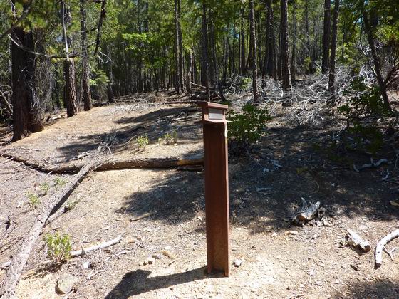
 B-27 ROUGH AND HILLY ROAD
Starting back at American Valley the emigrants began to run across a lot of mining activity. From here west to Bidwells Bar, the excitement of the gold rush had miners covering all the hills looking for instant wealth. Photo by Bill Bishell
* * * * * * * * * * * *
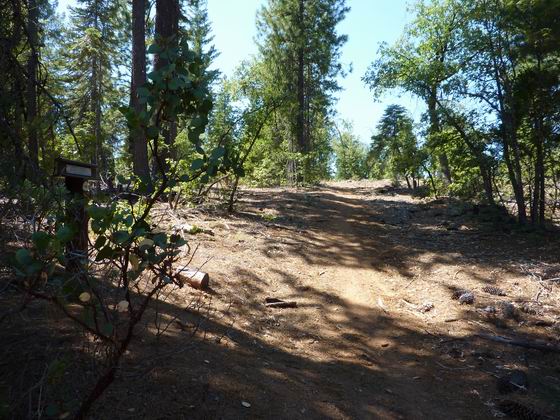
 B-28 FROM THE TOP
From this location, it was all downhill to Meadow Valley where they could rest and recruit their stock along Spanish Creek. Photo by Bill Bishell
* * * * * * * * * * * *
 B-29 AND SPANISH RANCH
This is the meadow where they could rest before climbing up and over Bucks summit and then down to Marysville. This area was called Spanish Ranch due to the Mexicans in the area.
Photo by Bill Bishell
* * * * * * * * * * * *
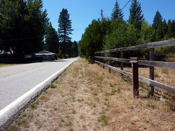
 PASSING THROUGH THE MEADOW VALLEY AT B-30
Just west of Spanish Ranch is the area known as Meadow Valley where there were more ranches and mining. From this point the emigrants were pretty much following a pack trail and wagon road that had been built eastward from Marysville to supply this area with goods needed for ranching and mining activities. Photo by Bill Bishell
* * * * * * * * * * * *
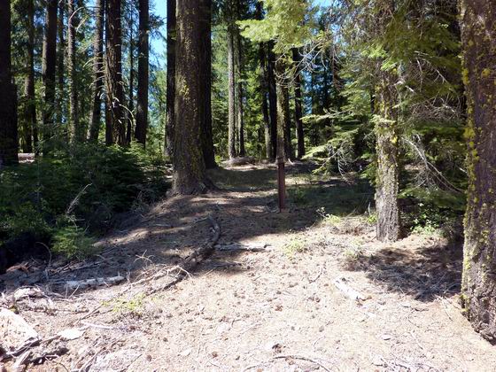
 CLIMBING OUT OF THE BIG CREEK DRAINAGE AT B-31
Even though they were on a semblance of a wagon road, this was a very steep drainage and it was a lot of work climbing to the ridge line. Photo by Bill Bishell
* * * * * * * * * * * *
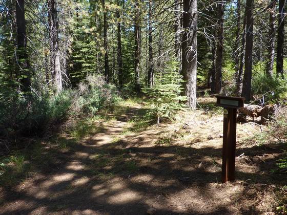
 JUST PASSING OVER BUCKS SUMMIT AT B-32
This is looking back up the trail/road to the northeast. At this point, the emigrants have crossed what was the final summit and it will now be mostly a downhill run to Marysville.
Photo by Bill Bishell
* * * * * * * * * * * *
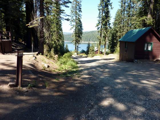
 B-33 CLIMBING OUT OF BUCKS VALLEY
Just before arriving at this marker, the emigrants passed through Bucks Valley which is now under the Bucks Lake reservoir which can be seen in the photo. As with most of the meadows in this area, it was an operating ranch. Many of the ranchers sold supplies to the emigrants when they were able, but the cost was very dear. Photo by Bill Bishell
* * * * * * * * * * * *
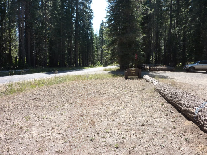
 B-34 HASKINS VALLEY
Haskins Valley was another nice valley in this area where the emigrants could rest their stock and cut grass for sections of the road ahead where feed was scarce. The trail went pretty much down the highway, but the marker is off to the right behind the vehicle.
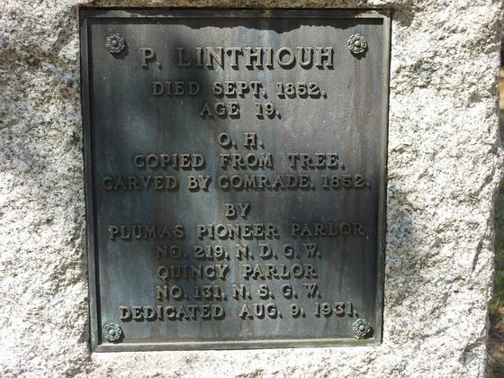
As can be seen from the inscription on the marker plaque, a Mr. Peter Linthicum was very ill at this point. Photo by Bill Bishell
* * * * * * * * * * * *
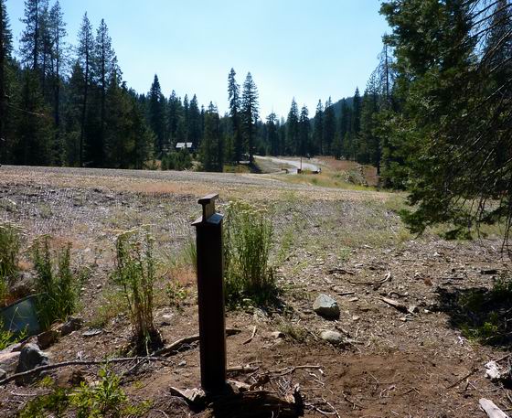
 ANOTHER CREEK CROSSING
Just a few yards past marker B-35 the emigrants crossed another Grizzly Creek and then continued over the saddle that can be seen in the background. When crossing this creek the wagon carrying Peter Linthicum overturned and dumped him out. This must have been the final straw for poor Mr. Linthicum as he died just afterwards. Photo by Bill Bishell
* * * * * * * * * * * *
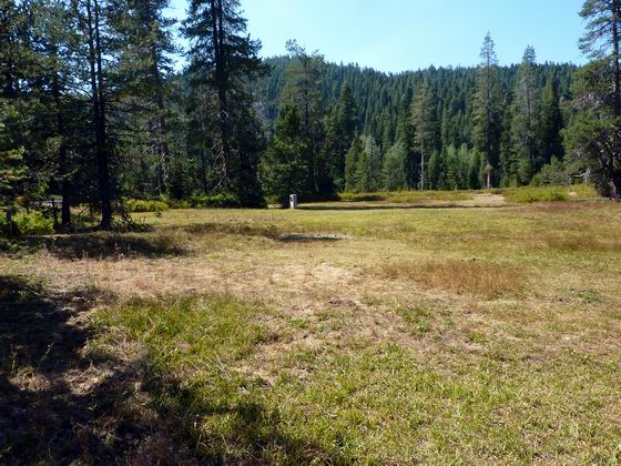
 PETER LINTHICUM’S GRAVE
Just after the creek crossing Peter died and was buried under a tree in this meadow. The white marker in the center of the photo is a replacement marker for him. His epitaph was originally carved into the tree he was buried under. Many years later, the tree died and the carving was removed and is now located in the Plumas County museum.
Photo by Bill Bishell
* * * * * * * * * * * *
 PETER LINTHICUM’S GRAVE MARKER
This is the plaque in the white granite marker in the meadow over Peter Linthicum’s grave. Notice the different spelling on this plaque versus John Dalton’s diaries.
The meadow is private property and there is no trespassing. Please view this from outside the fence. Photo by Bill Bishell
* * * * * * * * * * * *
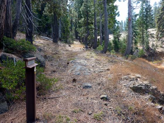
 WAGON RUTS AT MARKER B-36
Just above this marker there is a nice meadow where the emigrants camped and cut grass for the next days feed.
If you look carefully, in the center of the photo where rock is exposed in the roadbed, there are wagon wheel ruts ground into the rock from the hundreds of wagons passing through here. Photo by Bill Bishell
* * * * * * * * * * * *
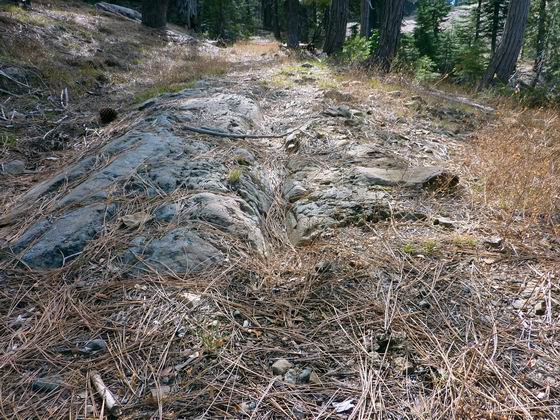
 WAGON WHEEL RUTS
Here is a close-up of the wheel ruts shown in the last picture. Photo by Bill Bishell
* * * * * * * * * * * *
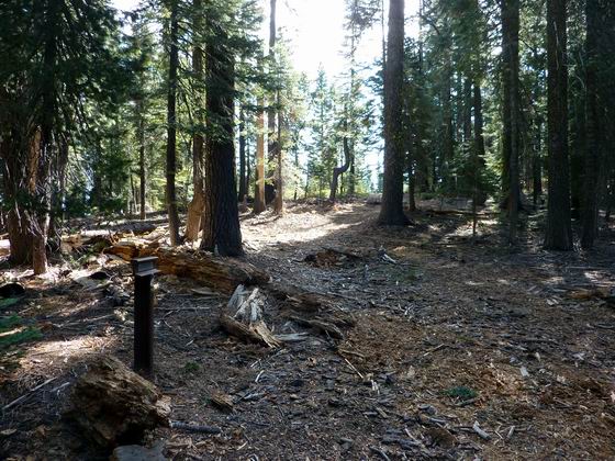
 THE TRAIL/ROAD IS FINALLY BACK ON THE RIDGE TOP AT B-37
From this point on, the road mostly stayed on the ridge top. There were some steep spots, but even so, it must have been nice to be on a road. Photo by Bill Bishell
* * * * * * * * * * * *
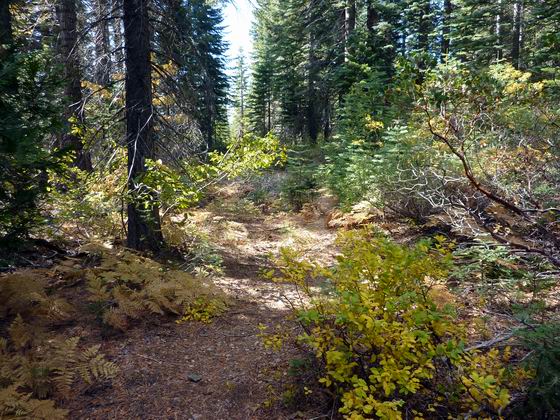 AT THIS POINT THE TRAIL WAS A WAGON ROAD
This is the old wagon road at marker B-38 that the emigrants were following. A few hundred yards below this point, there are again, some excellent examples of wheel ruts.
Photo by Bill Bishell
* * * * * * * * * * * *
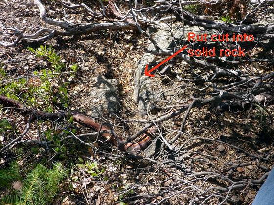
 WHEEL RUTS BELOW MARKER B-38
It’s hard to imagine the number of wagons it took to grind grooves this deep into the rock. There’re not many locations on any trail where you can see such a fine example.
Photo by Bill Bishell
* * * * * * * * * * * *
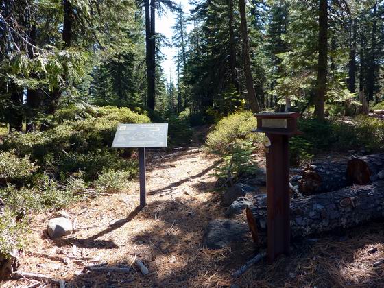
 THE WAGON ROAD AT B-39
In the area of B-39, the emigrants are getting lower in elevation on the western slope of the Sierras. The trees are changing from pine and fir to oaks and bays.
In this photo, you can see the remnant of the old road and there is a nice OCTA plaque giving some history of the Beckwourth route. Photo by Bill Bishell
* * * * * * * * * * * *
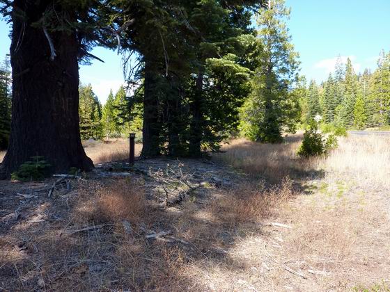
 LOOKING BACK UP THE ROAD AT B-40
Even though they were on a wagon road and mostly traveling downhill, it was still a grueling journey. There was little feed for the stock and the wagons, animals and people were thoroughly worn out. Photo by Bill Bishell
* * * * * * * * * * * *
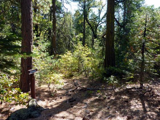
 HERE THE ROAD IS STILL ON THE RIDGE AT B-41
As they descended the road and wound up closer to the California valley of their dreams, the emigrants were coming across more and more ranches in their travels.
Most of these ranches have ceased to exist or have become small communities along the highway we now travel which approximates the old wagon road. Photo by Bill Bishell
* * * * * * * * * * * *
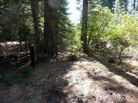
 B-42 DARE NOT LET OUR CATTLE RUN
As the emigrants wound their way lower in the foothills, they came across a lot of vegetation that they were not familiar with. It was rumored that some of it would poison their stock and that caused more work for these exhausted folks. It required them to “corral” their stock and haul water and feed to them rather than letting them graze. Photo by Bill Bishell
* * * * * * * * * * * *
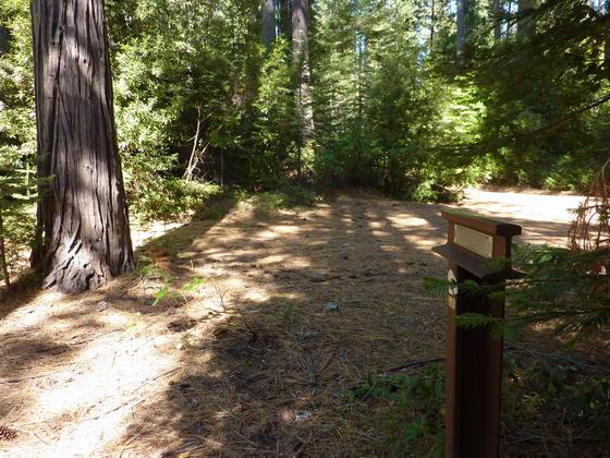
 B-43 VERY STEEP IN PLACES
Even though they are very near to the end of their journey, problems continued to haunt them. In this area, some of the tired stock seemed to have tried to show their displeasure and broke one of the wagon tongues. The only option when something like this happened was to fall a tree and make a new one. Luckily, they were in an area with lots of trees. It would have been a lot worse in the desert. Photo by Bill Bishell
* * * * * * * * * * * *
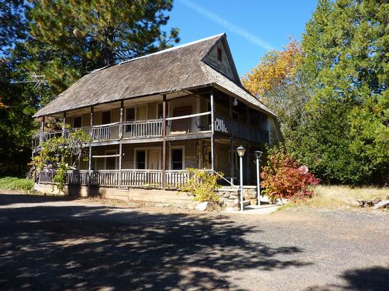
 MOUNTAIN HOUSE
Our marker B-44 is just to the right out of this picture. This structure is the original Mountain House that the emigrants came across. The road ran right in front of the building which was a road house back in the day. This structure was destroyed in a forest fire a few years ago. A piece of history was lost, but Trails West field trips have had a couple of tours through the old building and it was quite a treat to hear the complete story from the owners. Photo by Bill Bishell
* * * * * * * * * * * *
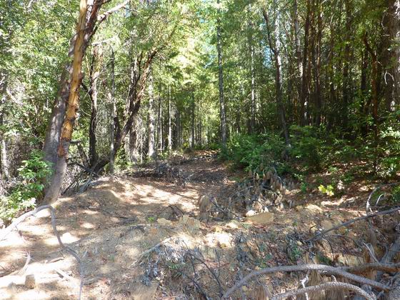
 A LARGE PARTY OF INDIANS
As you can see in this photo, even though they were on a road, feed was almost nonexistent. This is due to the country they were passing through and the fact it was a road used by others and everyone was looking for feed for their animals. It sure is nice today to just stop at a gas station to fuel our transportation.
One wagon party ran into a large group of indians near here. At least the Indians were of the peaceful variety in this area. Photo by Bill Bishell
* * * * * * * * * * * *
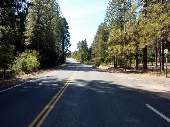
 THE NUMBER OF RANCHES WERE INCREASING
In this location, at B-46, the wagon road is overlain by the existing highway. They were near a ranch here and things were a little better for the families that had some money to purchase needed items from the ranchers. Photo by Bill Bishell
* * * * * * * * * * * *
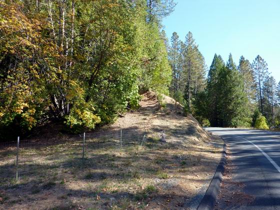
 DESCENDING A HILL TO BERRY CREEK AT B-47
The small lake just below this marker is the expansion of the one mentioned in the diary that the emigrants crossed over. Photo by Bill Bishell
* * * * * * * * * * * *
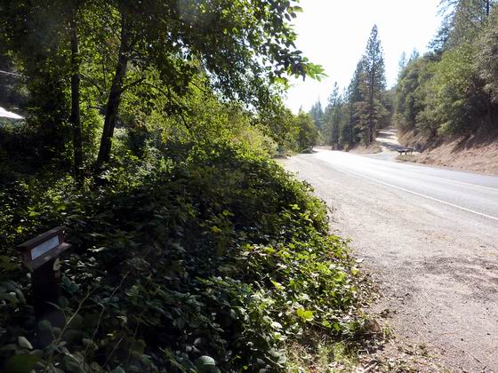
 PASSING ALONG CANYON CREEK
This location was the last section of downhill road before the emigrants reached the Sacramento Valley and the road leveled out. Photo by Bill Bishell
* * * * * * * * * * * *
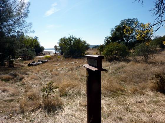
 APPROACHING BIDWELL’S BAR AT B-49
In the distance you can see water which is Lake Oroville. The old road disappears under its waters at the location of Bidwell’s Bar on the Feather River. At this point the downhill part of the journey is over and it was just a matter of following the mostly level, and improved, road to the town of Marysville and journeys end. Photo by Bill Bishell
* * * * * * * * * * * *
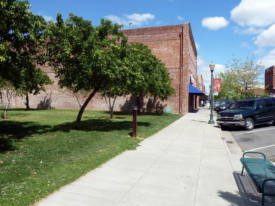
 ARRIVING IN MARYSVILLE AND MARKER B-50
Here is the final marker on the Beckwourth Trail, located in downtown Marysville and the end of the road for the emigrants. From here they either settled in town or dispersed throughout California to pursue their dreams. Photo by Bob Black
We hope you have enjoyed this photo tour of the Beckwourth Trail. If you are interested in driving this trail be sure to get a copy of our Driving Guide:
BECKWOURTH TRAIL
Markers B-1 through B-50
 Jim Beckwourth
 MARKER B-2 AND THE TRAIL IS HEADING NORTHWEST
 NEAR B-3 THE TRAIL BEGAN TO CLIMB UP THE FOOTHILLS
 THE TRAIL CONTINUED ACROSS GOLDEN VALLEY AT B-4
 PEAVINE SPRINGS WAS AN IMPORTANT WATERING SPOT
 PASSING B-6 WHITE LAKE CAME INTO VIEW
 FROM B-7 THE PASS WAS VISIBLE IN THE DISTANCE
 BECKWOURTH PASS
 THE WEST SIDE OF THE PASS AND SIERRA VALLEY
 AT B-9 THE TRAIL HEADED TOWARDS THE LITTLE PEAK IN THE DISTANCE
 AT B-10 THE TRAIL NOW PASSES THROUGH THE TOWN OF BECKWOURTH
 JUST PAST T-11 IS THE BECKWOURTH MUSEUM
 LOOKING UP GRIZZLY CREEK TOWARDS B-12
 LOOKING BACK DOWN THE TRAIL AT MARKER B-12
 LOOKING DOWN THE TRAIL AT B-14
 B-15 IN GRIZZLY VALLEY
 B-16 BIG GRIZZLY CREEK
 B-17 IN GRIZZLY VALLEY
 CROSSING EMIGRANT CREEK
 B-19 IS LOCATED ON THE ONLY LEVEL SECTION OF GRIZZLY RIDGE
 B-20 THE GRIZZLY RIDGE DESCENT
 AT B-21 THEY WERE ABOUT HALF WAY DOWN THE RIDGE
 LOOKING BACK UP THE TRAIL
 LOOKING WEST FROM B-22 AT SPRING GARDEN
 B-23 IS IN GREENHORN CREEK CANYON
 IN THIS AREA THE TRAIL IS PASSING THROUGH SEVERAL RANCHES
 AMERICAN RANCH
 THE CLIMB OUT OF AMERICAN VALLEY AT B-25
 B-26 CLIMBING TO THE SUMMIT
 B-27 ROUGH AND HILLY ROAD
 B-28 FROM THE TOP
 B-29 AND SPANISH RANCH
 PASSING THROUGH THE MEADOW VALLEY AT B-30
 CLIMBING OUT OF THE BIG CREEK DRAINAGE AT B-31
 JUST PASSING OVER BUCKS SUMMIT AT B-32
 B-33 CLIMBING OUT OF BUCKS VALLEY
 B-34 HASKINS VALLEY
 ANOTHER CREEK CROSSING
 PETER LINTHICUM’S GRAVE
 PETER LINTHICUM’S GRAVE MARKER
 WAGON RUTS AT MARKER B-36
 WAGON WHEEL RUTS
 THE TRAIL/ROAD IS FINALLY BACK ON THE RIDGE TOP AT B-37
 WHEEL RUTS BELOW MARKER B-38
 THE WAGON ROAD AT B-39
 LOOKING BACK UP THE ROAD AT B-40
 HERE THE ROAD IS STILL ON THE RIDGE AT B-41
 B-42 DARE NOT LET OUR CATTLE RUN
 B-43 VERY STEEP IN PLACES
 MOUNTAIN HOUSE
 A LARGE PARTY OF INDIANS
 THE NUMBER OF RANCHES WERE INCREASING
 DESCENDING A HILL TO BERRY CREEK AT B-47
 PASSING ALONG CANYON CREEK
 APPROACHING BIDWELL’S BAR AT B-49
 ARRIVING IN MARYSVILLE AND MARKER B-50