BIG TREE ROAD DRIVING GUIDE
(First Edition – 2022)
From Hope Valley, California to Murphys, California.
Markers BT-1 to Reference Marker RM-16
Price includes tax and shipping.
PayPal also accepts credit cards and does not require a PayPal account. Just click on the Add to Cart button above and follow the directions. You will go to a PayPal website, but there is an option to use your credit card and it won’t have anything to do with PayPal.
If you want to ship out of the USA, contact us at: TWinfo(at)emigranttrailswest.org
This 65 page guide is only intended to be a Driving Guide so it does not include the photos, emigrant diary quotes and narratives that are found in the larger Guidebooks.
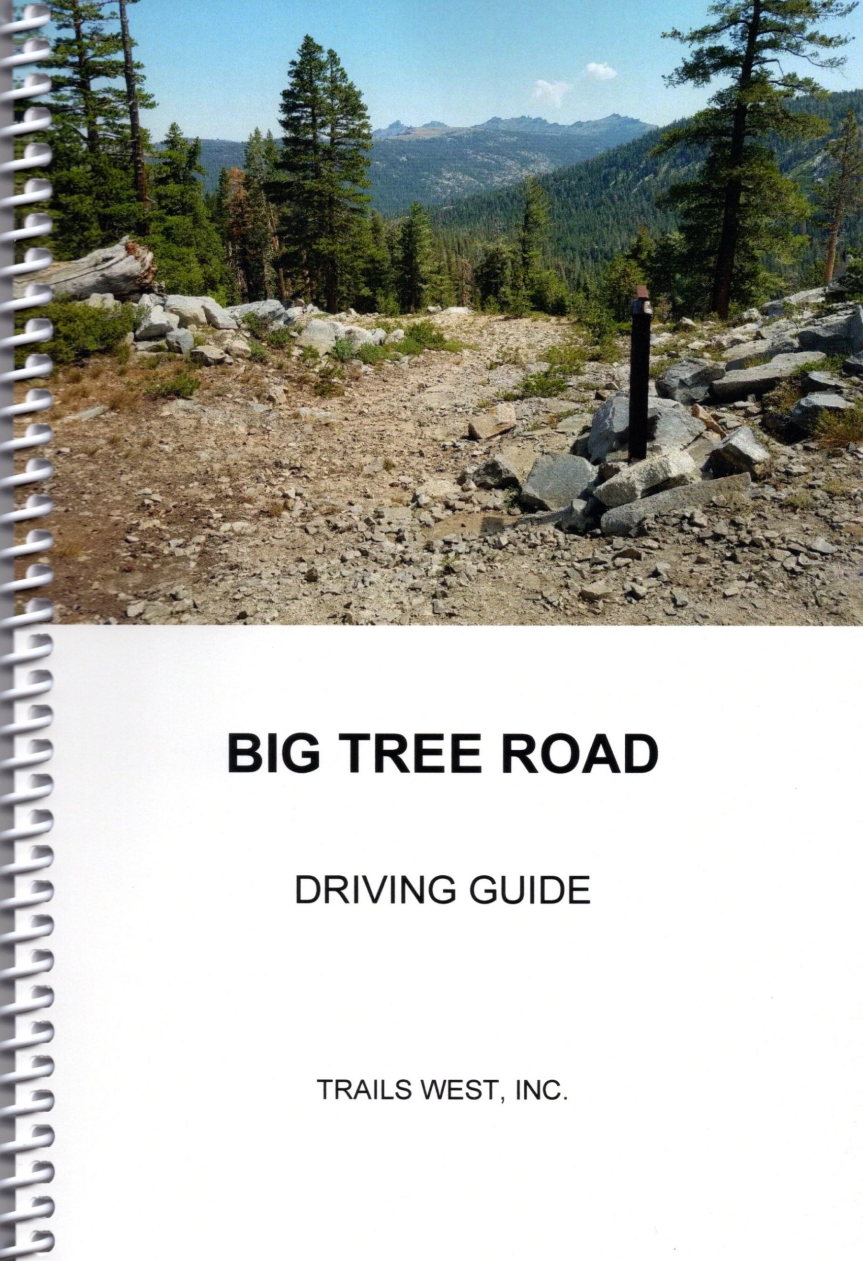
The historic Big Tree Road stretches from the Hope Valley, California to Murphys, California. No markers were installed in the area between Lower Blue Lake and Hermit Valley since this area is only accessible by a primitive road. Four (4) Historical Placques were used as Reference Markers to mark the trail at locations where additional rail post markers would be redundant. Big Tree Road remnants are visible at many locations and many can easily be hiked on. This feature provides an opportunity for the modern trail enthusiast to visualize the same settings that the early emigrants enjoyed.
This guide covers two segments of the Big Tree Road. The first segment begins close to Highway 88 (Hope Valley) and Blue Lake Road and ends at Lower Blue Lake, California. The second segment begins off of Highway 4 in the Hermit Valley, California and goes to Murphys, California.
Included in the guide are trail route maps, detailed driving instructions on how to travel from marker to marker, GPS coordinates in Latitude/Longitude and UTM formats and a history of the Trail.
Click here to see some sample pages.