Drawings of J Goldsborough Bruff
in the City of Rocks
The continued hunt for Sarcophagus Rock 2024
By Jeanne Rhoades Young – 12/9/25
“If you are going to do it, do it right the first time,” my father’s wisdom echoed in my brain. Well, I fear I did not heed this fine sentiment when I wrote about Sarcophagus Rocks location in City of Rocks in “The Marker” Summer 2023. I was so excited to track someone else’s identification of where Sarcophagus Rock was, and wanting to believe it to be true, I found myself forcing the match.
This conclusion, believing the Devils Bedstead is the location of Sarcophagus rock has been stewing in my mind for over a year. I do not like it; it doesn’t seem correct. I realize I must return to the City of Rocks and do a thorough methodical search of all the stone formations to satisfy my curiosity.
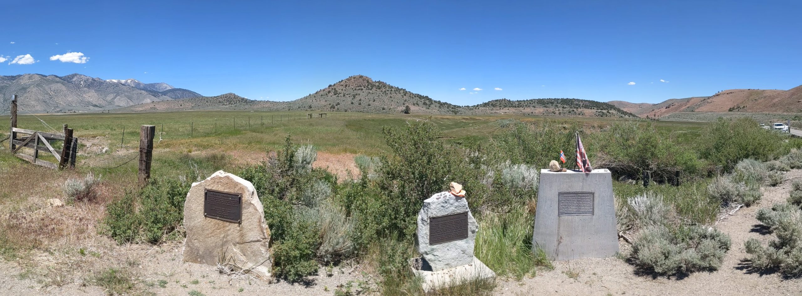
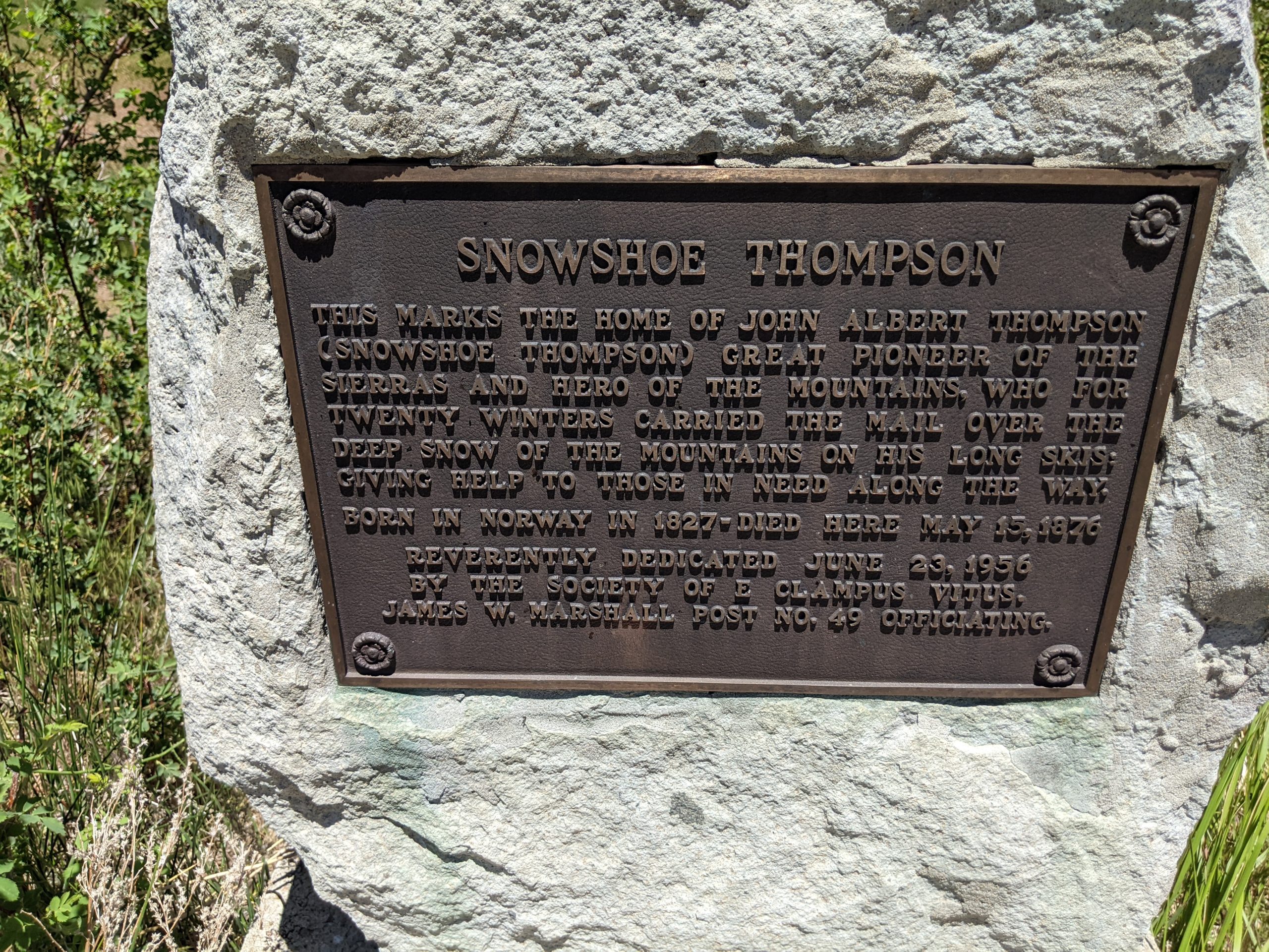
Study shows me J. Goldsborough Bruff drew seven pictures that afternoon on August 29, 1849, between Kaiser’s Helmet and Pinnacle Pass, when he and the accompanying wagon train stopped for a break and marveled at the unique granite megaliths.
The trail dusty and the livestock sweltering under the searing sun on that August day, Bruff dismounted from his hard ridden horse for a much needed respite near the clear water of Circle Creek. A fresh cool drink was irresistible to the horses and oxen. They gathered around and drank their fill from the crystal stream. What could be more lovely than sitting in the middle of these tectonically formed shapes gazing at the wonders in this grass filled valley? It was a magical place. Folks swarmed around Kaiser’s Helmet and Treasure Rock, unhitching their oxen and allowing them to graze. Emigrants dug into their lunch baskets for a biscuit that had been grilled that morning. While others ate or attended to their chores, Bruff wrote the following statement in his notebook:
“We nooned among these curious monuments of nature. I dined hastily on bread & water, and while others rested, I explored and sketched some of these queer rocks. A group, on left of the trail, resembled gigantic fungii, petrified, (1. Kaiser’s Helmet and Monkey Rock) other clusters were worn in cells and caverns; (4. another corroded rock) and one, which contrasted with the size and h[e]ight of the adjacent rocks, seemed no larger than a big chest, was, to my astonishment, when close to it, quite large, hollow, with an arch’d entrance, and capable of containing a dozen persons. This, from its peculiar shape, I named the “Sarcophagus Rock.”i
Bruff’s drawings one(1) through six(6) are all within hundreds of feet of each other, with Pinnacle Pass (7) less than a mile away. Below is the order of J. Goldsborough Bruff’s sketches that he drew in his original notebook with pencil as he progressed through his day in the City of Rocks:
1. Singular formations of disintegrating granite. (Kaiser’s Helmet and Monkey Rock.)
2. Inside Sarcophagus Rock
3. Side view of Sarcophagus Rock.
4. Back view of Sarcophagus Rock.
5. Another corroded rock.
6. Headboard of the Devils Bedstead from the back side.
7. Pinnacle Pass.
It is important to keep in mind the order of his sketches in his primary notebook, because he drew them as he discovered them. His illustrating order compels me to find Sarcophagus Rock located somewhere after (1) Kaiser’s Helmet, and before (5) “another corroded rock.”
Bruff’s first (1) drawing in City of Rocks, he labeled Singular Formations of disintegrating granite; City of Rocks calls it Kaiser’s Helmet. In the lower left of his first sketch, he also drew Monkey rock. I have photographed the two showing how his drawings are somewhat similar, but definitely not exact when compared to the actual metamorphic formations. Bruff’s proportions are artistic, not precise.

Singular Formations: Kaiser’s Helmet top, Monkey Rock bottom left of drawing August 29, 1849

1. Kaiser’s Helmet July 23, 2024

Monkey Rock July 23, 2024
Sketches two (2), three (3), and four (4) are inside Sarcophagus Rock and outside Sarcophagus Rock. I will address them later
Bruff’s fifth (5) sketch is called “another corroded rock”. What Bruff calls corrosion is actually a tafoni, a honeycombed weathered hollow space created when salt air erodes the granite, salt air suspected to be blown in from The Great Salt Lake. In the City of Rocks, many boulders have this scooped out, flaked off appearance. Below is a close up of his original drawing coupled with a photo of a near match of a tafoni I found in the location of Treasure Rock.

4. Another corroded rock August 29, 1849

4. Another corroded rock July 23, 2024
Drawing six (6) gave me a headache to locate. I searched for 3 days looking for the rock that resembled this unlabeled drawing, knowing it had to be between Kaiser’s Helmet and Pinnacle Pass. The top of the fissures in this monument of stone slant to the left. Exactly the opposite slant of 99.9% of all the other rock formations in Circle Valley. How could the entire valley of granite projections emerging from the earth be slanted to the right and Bruff draws a clump of rocks slanted to the left? Tom mentioned that Bruff would have drawn something that stood out to him, something that would have caught his attention, something worth sketching. Bruff noted on the drawing that the stone mass was 200 feet high. Two hundred feet high? What could that be? The Devil’s bedstead was the only tall precipice in the whole lunch stop area standing erect, alone in the middle of the grass hill, and the most obvious. It would be hard to miss, but I had managed to do it. Upon further study of maps and terrain, we noted the main original emigrant trail traveled to the left behind the Devils Bedstead, not in front where we stood. Hopping on our bikes, we peddled on the foot path behind the Devils bedstead. Surprise, surprise, there it was, the fractures slanted left. The configuration matched Bruff’s drawing, as much as anything can match Bruff’s drawings.

5. Drawing five Aug 29, 1849

5. Drawing five Aug 29, 1849 5. Back side of the Devils Bedstead. July 23, 2024
Circle Valley is a plethora of shapes, pinnacles, obelisks, and hollowed out grottos. As J. Goldsborough Bruff gazed around looking for a shaded lunch spot in this treeless basin, either he or someone else had crawled under a cavernous boulder to escape the scorching noon day sun.
The elusive Sarcophgus rock was my final goal on this quest. It made enormous sense that Sarcophagus Rock would be by the trail where lunch was eaten. I surmized Its location had to be between Kaiser’s Helmet and the Devil’s Bedstead. Bruff drew them in that order in his “original” note book and that is the theory guiding me.
Where is this spaceship shaped rock where five men could comfortably relax in the cool shade, eating their bread, and joking with each other?
What was I missing, what was I not seeing. It had to be here.
I had looked at so many cracks in rocks, shapes of rocks, tafoni’s in rocks, that my eyes had crossed, and I had lost any perspective of what I was searching for. Tom, in his wisdom, evaluated the facts and patiently waited as I studied the many boulders near Kaiser’s Helmet and Treasure Rock from different angles.

2. Sarcophogus Rock August 29 1849

2. Sarcophogus Rock August 29 1849

3. Outside Sarcophogus Rock August 29 1849
Tom patiently waiting while I am on my quest to find Sarcophagus Rock. Where could that spaceship shaped rock be? Right behind him, hiding in plain sight perhaps? July 23, 2024
As I was about to accept defeat for the day, I turned my glance toward Tom. The rock he was standing in front of jumped out at me. The wedge shaped rock had been dwarfed by Treasure Rock. I had barely noticed this slab of stone the previous ten to fifteen times I walked past it, searching behind Treasure Rock for axel grease signatures smeared on its side left from travelers 175 years ago.
The opening gap to look under was belly crawling small and the rock appeared to be a solid mass of granite. Could there be a tafoni underneath it? If you were looking for a sarcophagus, this one definitely has the shape. Who would think of snaking under this coffin like rock Tom is standing next to, to see if it resembled a tomb inside? Oh, me, I did it, because it mostly looks like the Bruff drawing, and it is in the right lunch location where he drew his other sketches, and I was on a nonstop mission (some would say obsession). Seriously, it called me to slither on my belly and poke my head under the stone as I hoped five previous male emigrants had. There is a chamber in here, there is a large chamber in here, at least four feet high, and a possible bench, as in his sketch. This certainly resembles a tomb, a coffin, a sarcophagus. Could five men sit in here away from the blazing noon sun and devour their hard tack and jerky? Well yes, they could. Everything falls in order: sequence, location, size, shape, the interior bench, and the proximity to every other sketch Bruff made that afternoon. I am convinced this is THE elusive Sarcophagus Rock that I have been looking for.
Rocks, like clouds, have many shapes and often we see what we want to see. Did I find it? I believe so. Perhaps someone else could crawl under there and let me know what they think. Perhaps YOU could confirm my theory.

4. Bruff Drawing Inside Sarcophagus Rock August 29, 1849

Inside Sargophagus Rock July 23 2024 There is plenty of room. Come on in for a sit.

Map of a portion of the City of Rocks.
i Gold Rush The journals, drawings, and other papers of J. Goldsborough Bruff, Edited by Georgia Willis Read and Ruth Gaines. Page 116
![]()
![]()
![]()
![]()
![]()
![]()
![]()
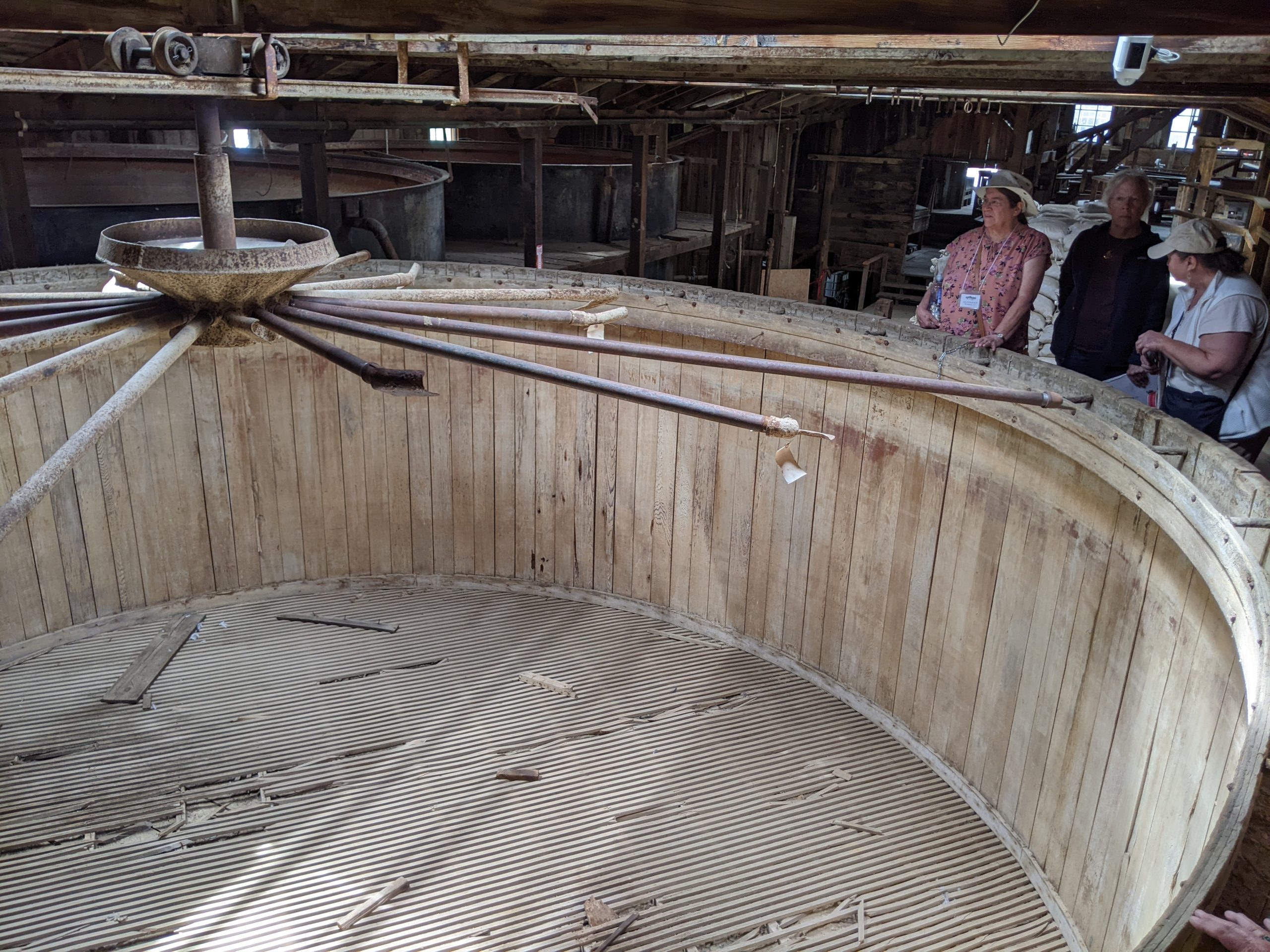
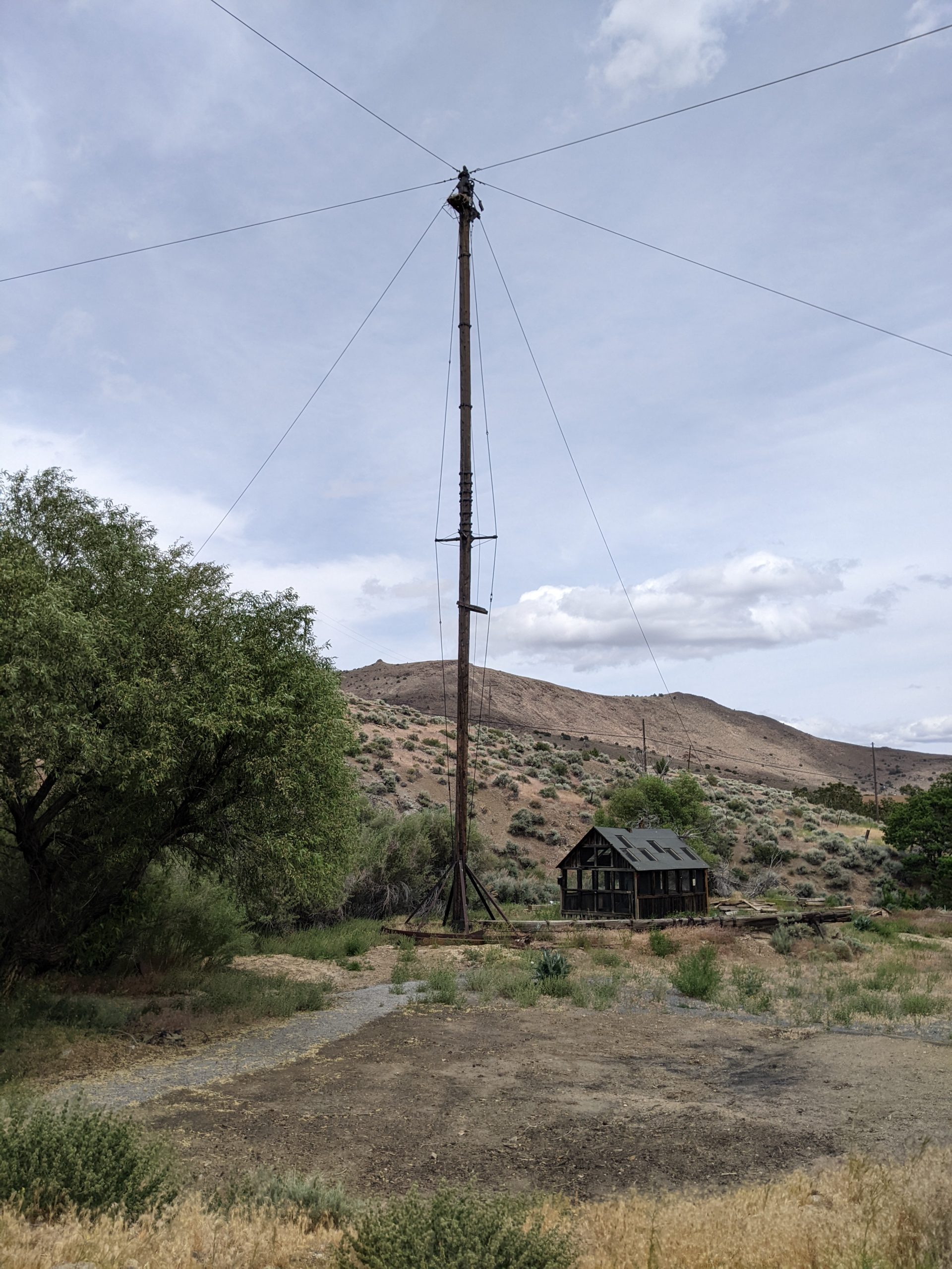
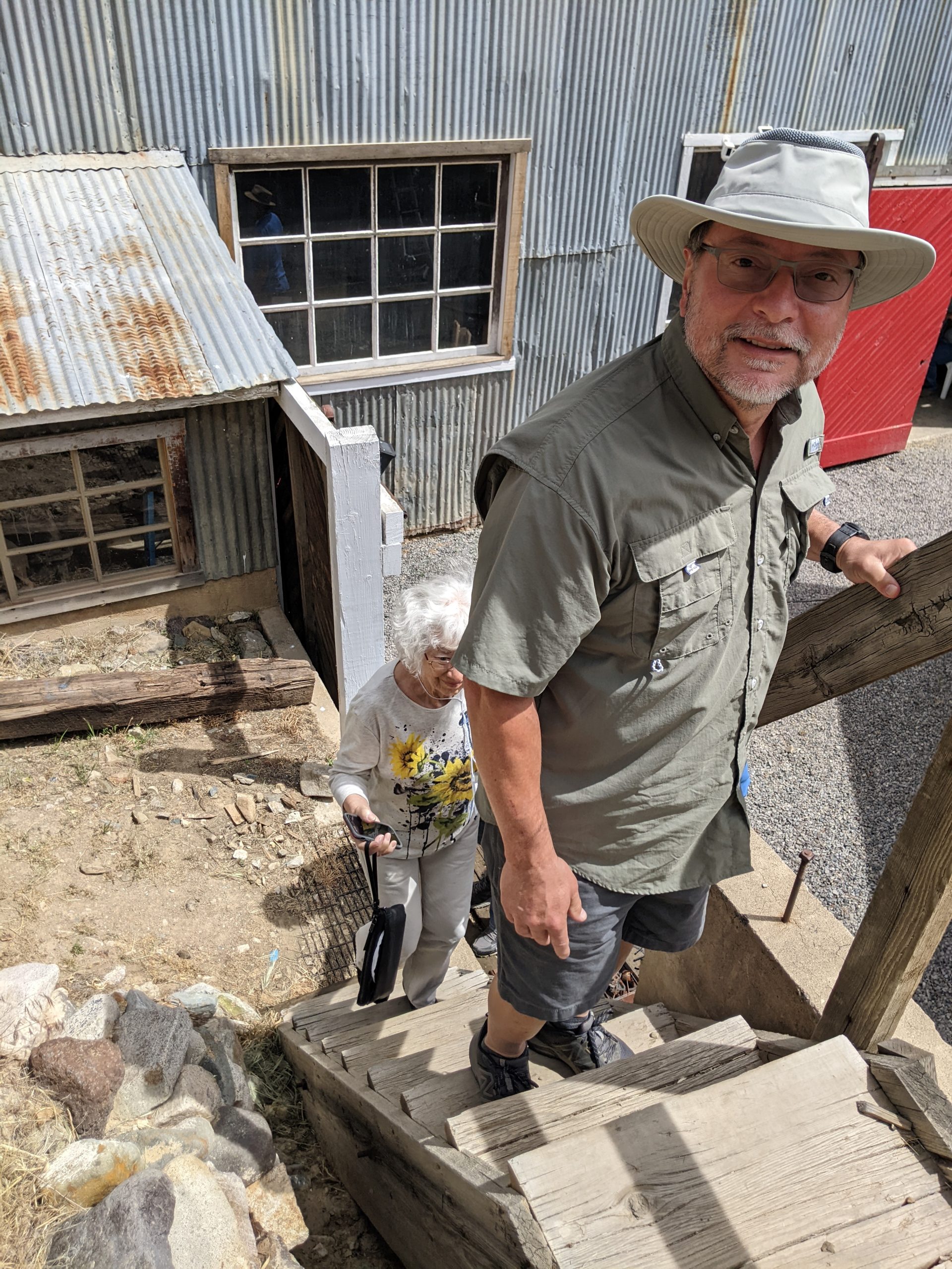
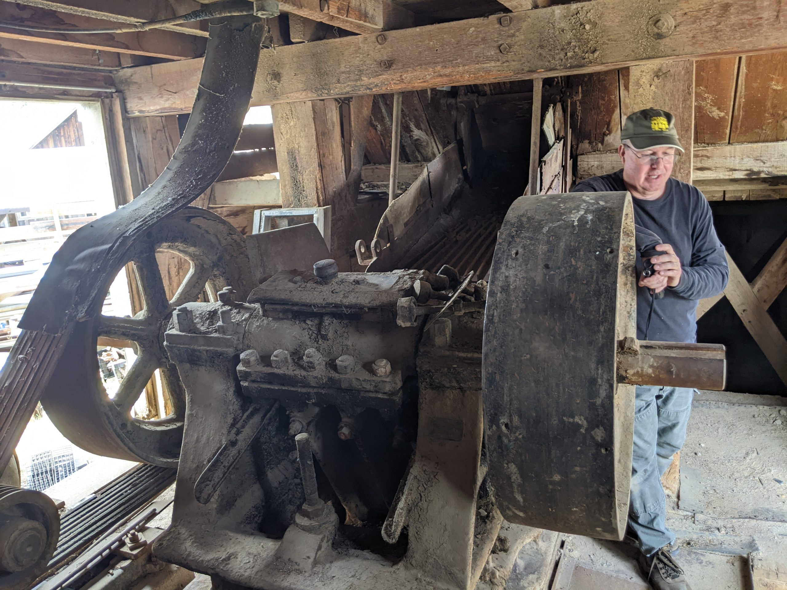
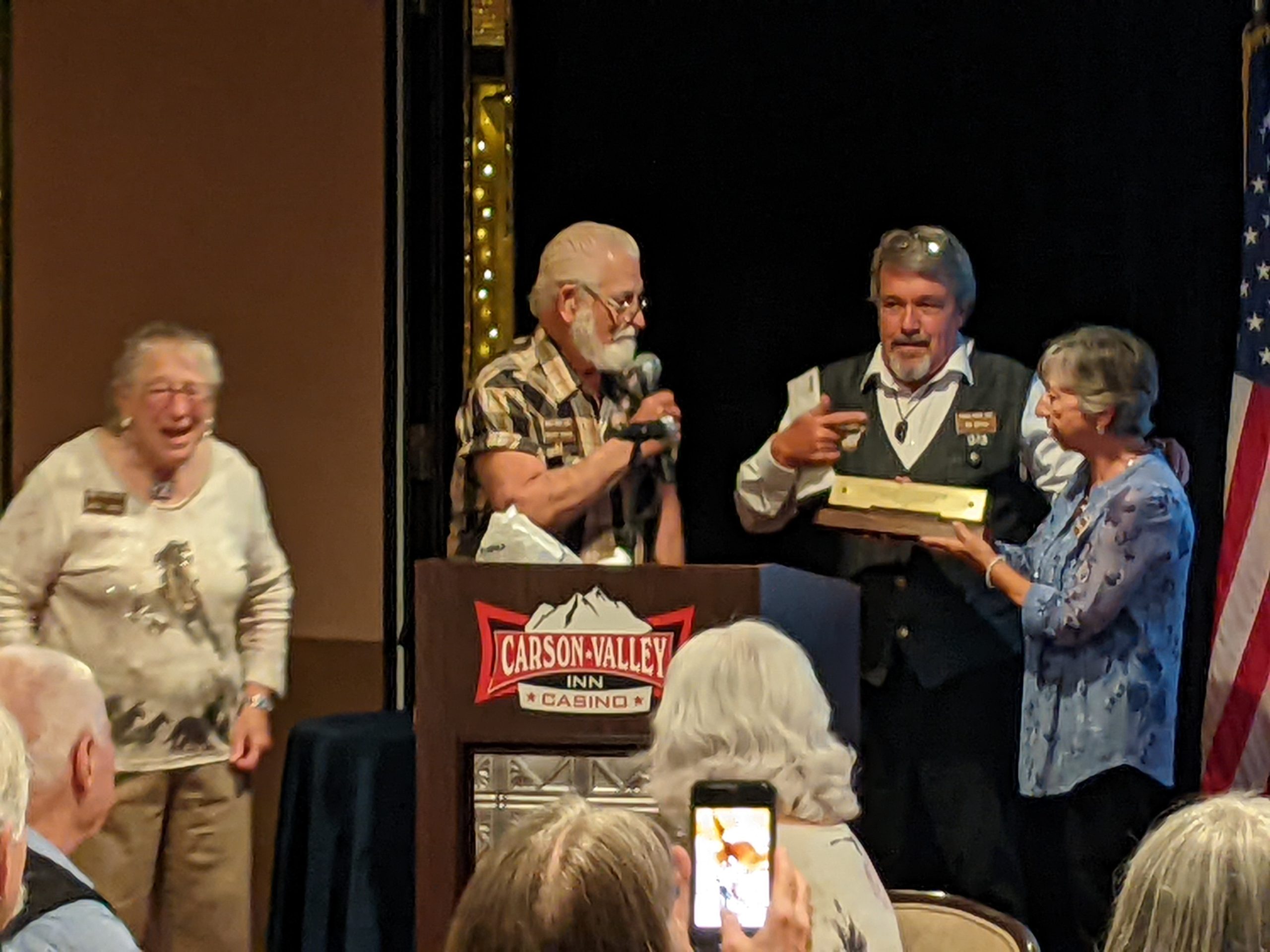
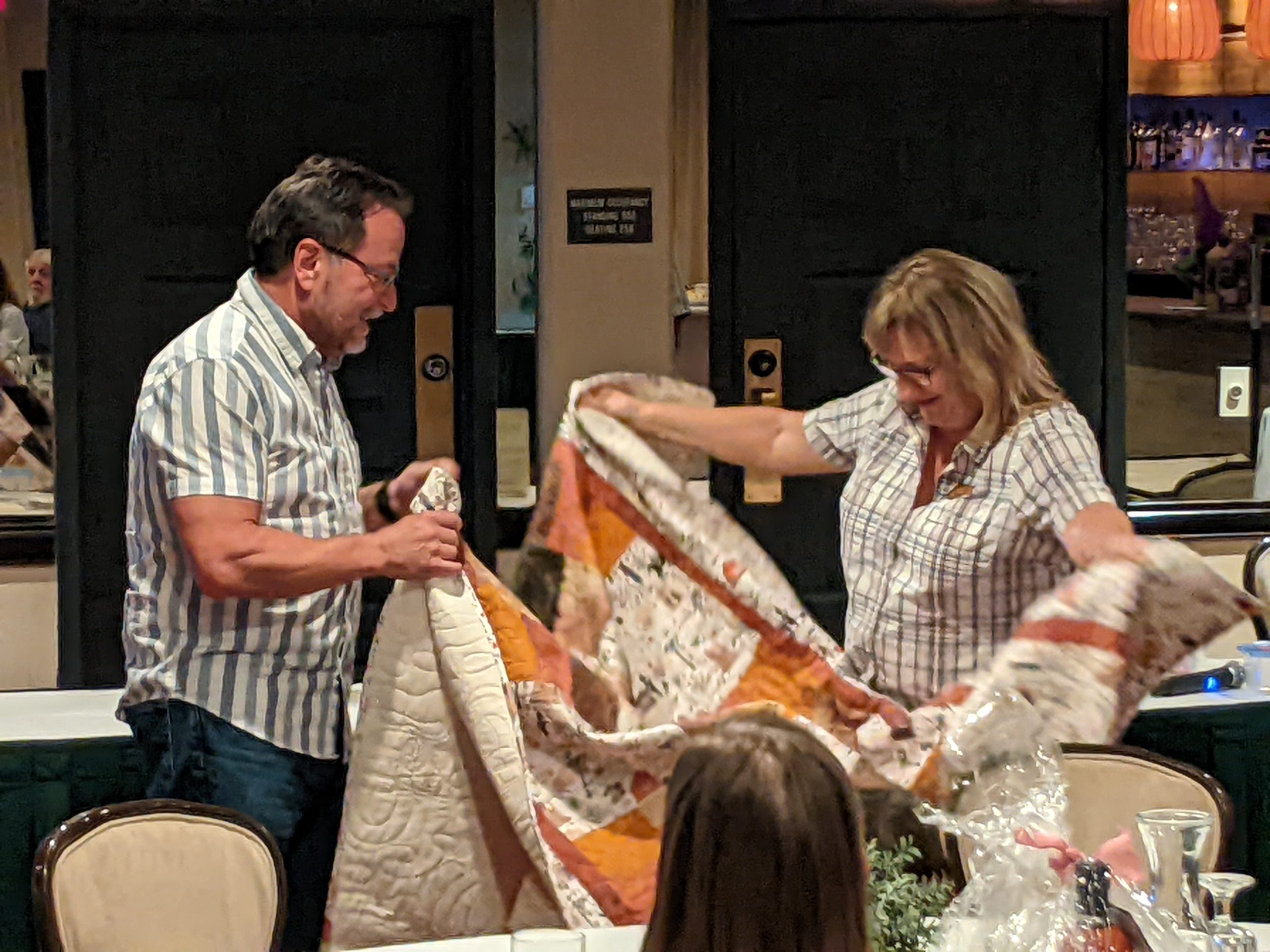
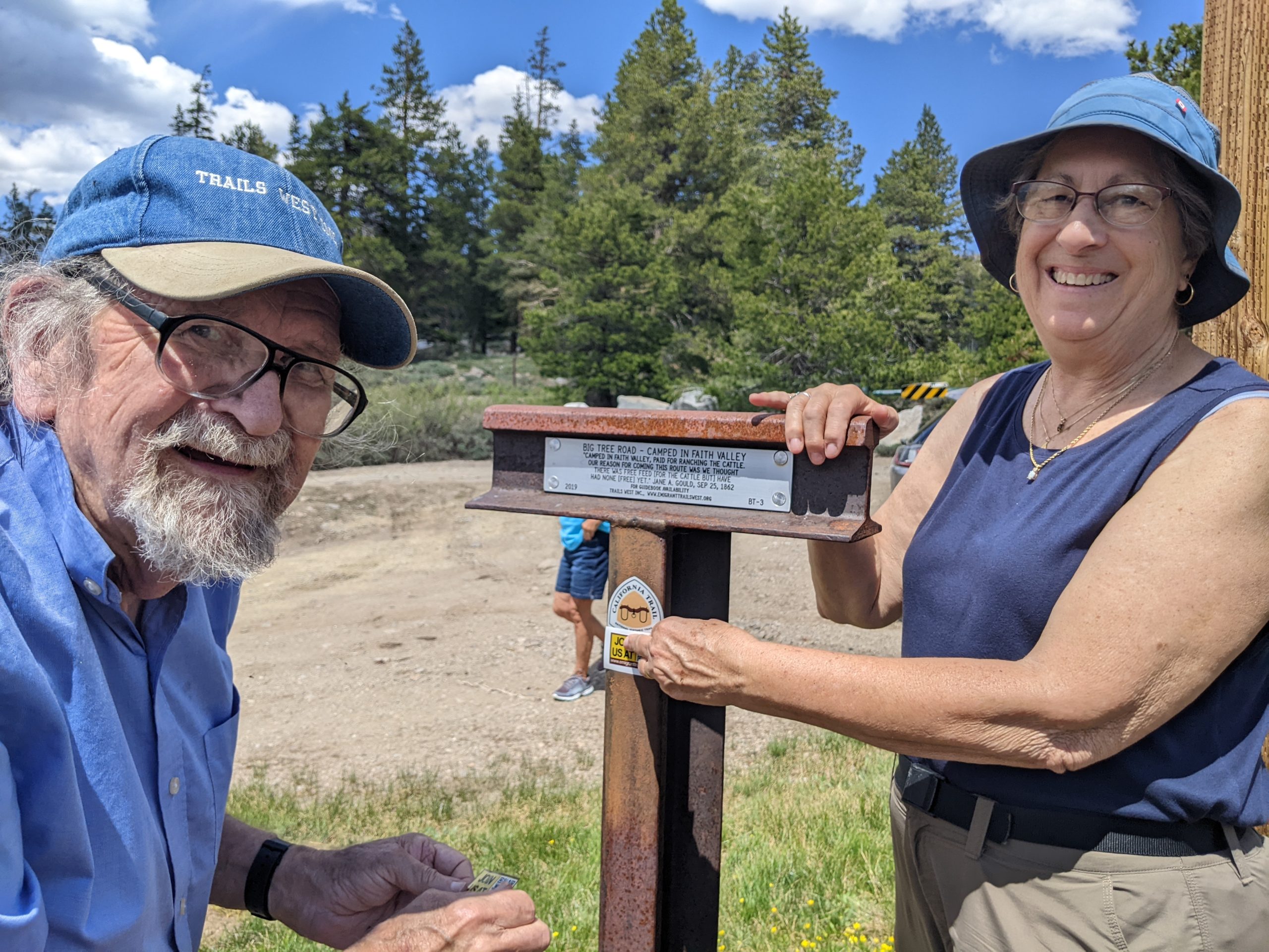
YOU MISSED The Trails West Conference held Monday, June 10th through June 12th 2026 at the Carson Valley Inn in Minden, Nevada. BUT THERE IS NEXT YEAR. The next Trails West Conference will be held in June 2027 at the Carson Valley Inn in Minden, Nevada…SO YOU HAD BETTER START PLANNING AHEAD!!!
Here are some pictures of the activities…
![]()
![]()
![]()
![]()
![]()
![]()
![]()
Do you enjoy
History?
Archaeology?
Trails of the West?
Then Read on to the latest Trails West Adventure…
Report of the Lassen Historical District Group-
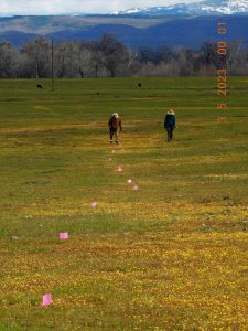
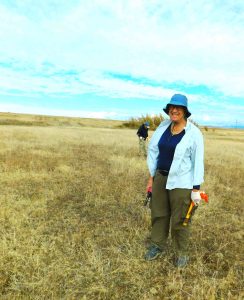
The group met at the Woods corrals and the goal was to explore an area of an early road that ran parallel to the Lassen Masonic Hall Branch of the Lassen Trail. This new road which ran east from the first Masonic Hall in California terminated at the Marysville to Shasti Road, Halley House / Masonic Hall intersection and ran .61 miles to the east and re-connects to the main branch, just north of the dam of the Lassen Reservoir we call Lake Cunningham. Today’s search area was a section 232 yards from the main gate to 464 yards. In attendance were Meg and Frank Zbierski, Richard Starch, Archaeologist Seth Owens, Mouse, Abbey and me.
This spring this new road section was highlighted by a broad swath of yellow flowers and had 19 cross avenues of the newly found Benton City subdivision.
The road in this section was searched and there was a moderate concentration of artifacts as it descended to the flat area where it crossed the northeast corner of 1844 Lassen Garden.
This once irrigated area is rather flat in topography and as such is subject to flooding in wet weather. Around 1900 Leyland Stanford constructed a canal around this corner of the garden skirting this flat region and as such his canal isolated this section of newly found road. Of note, this section of trail has singular wagon ruts visible when this area is subject to heavy rains. I know of no other emigrant trail section which manifests this singular rut features.
On arrival we parked a safe distance from the rut features to not disturb the frail formations.
The group focused on the original LIDAR marked track made this winter which was in line of the gate at the Woods / Rumiano gate adjacent to the Masonic Hall and a wood timber we moved to mark the crossing at the east end of our search area and flagging on the Stanford’s canal was added for reference on the west end.
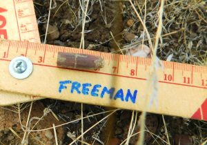
Metal detectors quickly started their reports of metal being found. Time and time again collection of nails, both cut and wire were encountered with copious amounts of wagon and tack artifacts. About half a dozen conical and lead ball projectiles were also found. It became clear that this area was very hard on the wagons with harness and wagon artifacts showing major distress. Broken trace chain links and major wagon washers signaled the hard time the wagons had passing this flat. Horseshoes were another common find as the clay soil was clearly sucking the shoes off the animals. A very disfigured draft shoe was also noted.
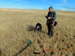
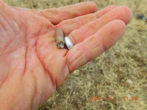
Artifacts reflected that use of this route mirrored the later travelers heading to the Upper Feather River Mines at Rich Bar and Indian Valley. We also metal detected on either side (north and south) of the LIDAR road route and found these areas were completely devoid of artifacts. Two artifacts were found which were not readily identified. The first one which was found was a copper tube about 1/4 inch in diameter and 1 inch in length, which was enclosed at one end and the other was packed with some sort of material which seemed to have a small hole. A second one was later found which clearly had exploded. Subsequent research showed that these two artifacts were blasting caps for black powder dating to possibly 1872.
This find expanded the use of this section of Lassen Trail for almost another decade. Also found by Richard was a wire splice of what appeared to be a section from the 1858 telegraph line. This line is noted crossing this area on the 1858 Von Schmidt Rancho Bosquejo Survey.
The artifact field agreed to the LIDAR track of the road and this high density showed that crossing this corner of the Lassen Garden was quite detrimental to both wagons, tack, and animals.
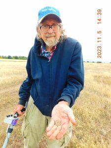
We crossed the Stanford Canal to the east and found a marked drop off in artifact density similar to the west end. Richard wandered off to the north and discovered at the Masonic Branch of the Lassen Trail Route a very large collection of cut nail fragments. Richard enlisted Frank and me to canvas the area on both sides of the main trail, now about 1/4 mile from the Marysville to Shasti Road intersection. We expanded our search and found the site to be at least 30 by 40 feet in size and encompasses both sides of the trail. The day was getting late and there was talk of giving it up for the day as the sun was heading to the horizon. At this time Frank found, on a borrowed metal detector, a Chinese silver coin. The coin was given to Seth for cleaning and examination.
It was noted that this portion of the Lassen Trail was in use well past the emigrant phase. It clearly suggested that this section carried supplies to the Feather River mines. The singular wagon ruts, which were prominent when partially flooded, were not visible when the soil was dry. It is recommended that travel in this section of flat ground be curtailed to protect these frail wagon features.
Dave Freeman
![]()
![]()
![]()
![]()
![]()
![]()
![]()
Some of our members are hard at work out in the field in the continuing effort to record the exact location of the various trails.
Currently, a small group is trying to find where the wagons crossed Goshute Valley between markers HN-4 and HN-6 on the Hastings Cutoff. Our marker HN-5, which is now behind locked gates, has always been a bit suspect. It is hard to believe the emigrants went northwest to that spring when they knew they had to go southwest and there was also water along that route. So, the search begins. It’s not acceptable to just say “they must have gone that way”. Specific evidence is required. This group is spending a lot of time going through old diaries and old maps. This has lead to many days of on the ground reconnaissance. Member Kevin Lee is pretty much leading the efforts and has been using his drone to get a birds eye view of what can’t be seen from the ground. Below is a short video of one of his flights he has spruced up.
Thank you Kevin, and others, for your continuing efforts to document history.
Below is a link to the half hour PBS special that Trails West had a major part in working on. If you haven’t had a chance, take a look at it. Very well done and it shows a lot of the great country along the Applegate Trail from Lassen Meadows to Goose Lake.