The opening of the California Trail was nearly five years in the making. It began as an unpromising attempt in 1841 with the Bidwell-Bartleson Party struggling along the Humboldt River with their pack animals and ending with a desperate crossing of the Sierra Nevada into the San Joaquin Valley of central California. In 1843, Joseph Walker led a small wagon party off the Oregon Trail onto the Raft River, in present day southeastern Idaho. From there he guided his party southwest to the Humboldt River near present day Wells, Nevada. After following the Humboldt River to its Sink, Walker faced the same problem of how to surmount the Sierra Nevada. Having to abandon his wagons, Walker finally found passage over what later became Walker Pass at the southern end of the Sierra Nevada (near present day Bakersfield). The final breakthrough came later the next year with the Elisha Stephens wagon party who had followed Walker’s route to the Humboldt Sink. With guidance from a Paiute Indian known as Chief Truckee, they managed to find a wagon route along the Truckee River and passage over the Sierra Nevada in the vicinity of present day Donner Pass. Although it took them until early 1845 to get their wagons to Sutter’s Fort (now Sacramento), they had opened the first viable wagon route to northern California. For more information on the opening and development of the many California Trails, see Trails West’s A Guide To The California Trail To The Humboldt River and A Guide To The California Trail Along The Humboldt River. In June, 2019 “Ken The Jeep Guy” did a YouTube video on his trail trip. The link can be found at Historic California Emigrant Trail by Jeep. Enjoy your photo tour of the California Trail from the Raft River to the Humboldt Sink.
A PHOTO TOUR OF THE CALIFORNIA TRAIL
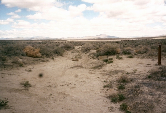
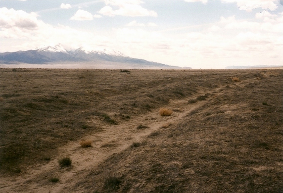
 PARTING OF THE WAYS OF THE TRAILS—MARKER C-1
Near the base of the flat-top hill in the background, the California Trail left the Oregon Trail and headed south up the Raft River valley. Photo by Bob Black
* * * * * * * * * * * * *
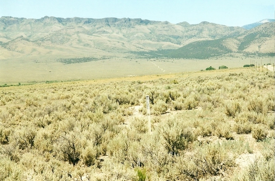
THE TRAIL HEADS SOUTH NEAR MARKER C-2
At this point, the emigrants had traveled about five miles since leaving the Oregon Trail and were dropping down to cross the Raft River to the east side. They would then continue up the river for about ten miles where they would cross over to the west side. Photo by Bob Black
* * * * * * * * * * * * *
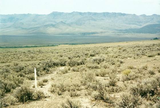
 FROM MARKER C-4, THE TRAIL HEADS SOUTHWEST TOWARD CASSIA CREEK
After passing McClenden Spring, a feed and water oasis about a mile west of the main trail, the trail follows the ranch road for about three miles south along the base of the mountains to Marker C-4. Photo by Bob Black
* * * * * * * * * * * * *
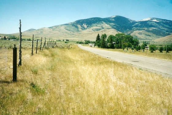
 HUDSPETH CUTOFF JOINS THE CALIFORNIA TRAIL SOUTH OF MARKER C-4
The Hudspeth Cutoff, which was opened in 1849 by the wagon train captained by Benoni Hudspeth and guided by John Myers, joined the California Trail about a mile south of Marker C-4 where the trail turned west to go up Cassia Creek.
Even though this cutoff was used by the majority of the 49er migration, it saved little time or distance compared to the Fort Hall route. Photo by Bob Black
* * * * * * * * * * * * *
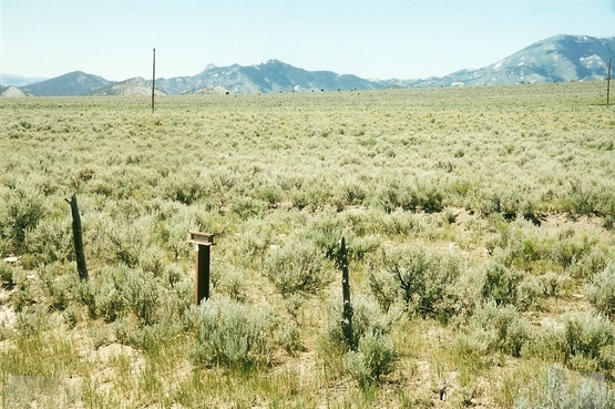
 TRAILS LEAVES CASSIA CREEK AT MARKER C-5
The trail leaves Cassia Creek near the marker at the Grand View Cemetery and then travels south past the community of Elba, Idaho. It continues up the valley and then heads for the low summit in the mountains. Photo by Bob Black
* * * * * * * * * * * * *
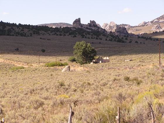
 TRAIL NEAR SUMMIT CREEK AT MARKER C-6
After crossing the summit, the trail veers slowly southwest around the upper Raft River Valley toward the mountains ahead. Photo by Bob Black
* * * * * * * * * * * * *
 TRAIL ENTERS THE CITY OF ROCKS NEAR MARKER C-7
After passing through the present community of Almo, the trail continues southwest up into a valley in the mountains called the City of Rocks.
This valley was named for the spectacular large granite pillars and boulders scattered throughout the valley. Photo by Bob Black
* * * * * * * * * * * * *
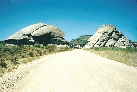
 TRAIL APPROACHING CAMP ROCK AND MARKER C-8
The trail follows the existing road southwest through the valley. The emigrants used the large boulders as shelter and often camped up against them. Photo by Bob Black
* * * * * * * * * * * * *
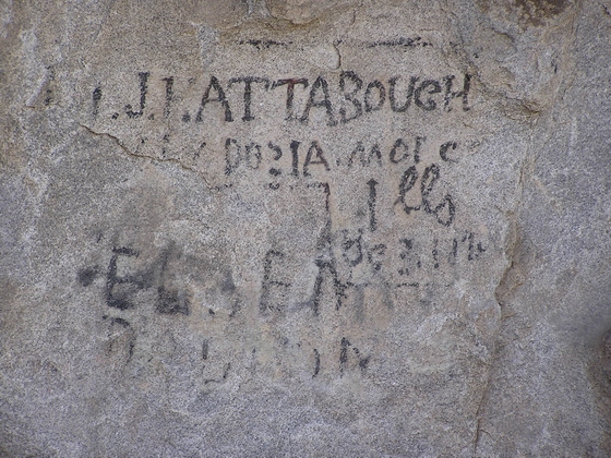
 EMIGRANT NAMES ALONG THE TRAIL NEAR MARKER C-8
While the emigrants camped among the massive granite rocks, they often wrote their names on the flat surfaces with axle grease. If they chose a location that was protected from the weather, their names are still visible today. Photo by Bob Black
* * * * * * * * * * * * *
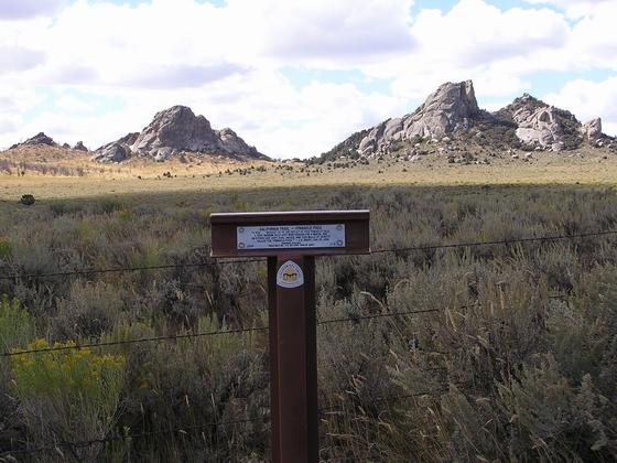
 TRAIL LEAVES THE VALLEY THROUGH PINNACLE PASS AT MARKER C-9
As the trail left the “Silent City” as it was called by some of the emigrants, it passed through Pinnacle Pass which was just wide enough for a wagon.
This pass was named for the huge granite pillars that guard the pass.
Photo by Bob Black
* * * * * * * * * * * * *
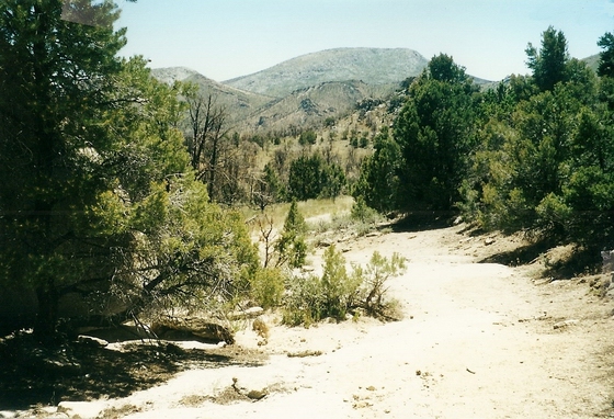
 TRAIL GOES DOWN THE SOUTH SIDE OF THE PASS
After the emigrants crossed over the pass, they had easy going down the gentle slope on the south side of the mountain. Photo by Bob Black
They had just passed through the pass that some emigrants referred to as “Echo Gap” because of the effect caused by the perpendicular granite walls on each side of the gap.
* * * * * * * * * * * * *
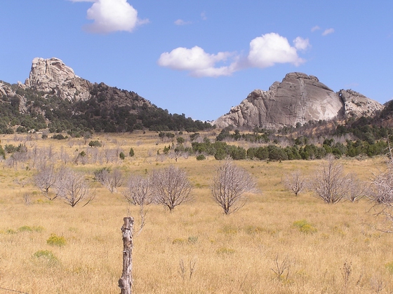
 PINNACLE PASS VIEWED FROM THE SOUTH SIDE NEAR MARKER C-10
This view is probably similar to what the emigrants experienced when they looked back up the trail to the pass. Photo by Bob Black
* * * * * * * * * * * * *
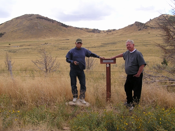
 JUNCTION OF THE SALT LAKE CITY CUTOFF IN THE VALLEY
AT MARKER C-10
The actual junction is about 100 yards east and about 50 yards south of the marker. Both trails are visible at the junction.
This Cutoff was opened in 1848 by Samuel Hensley and was heavily used by the migration in 1849. Photo by Bob Black
* * * * * * * * * * * * *
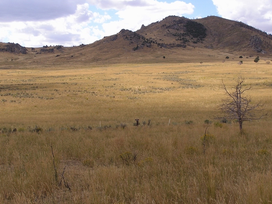
THE TRAIL JUNCTION IN THE VALLEY NEAR MARKER C-10
The trail junction is southeast of the marker. Photo by Bob Black
* * * * * * * * * * * * *
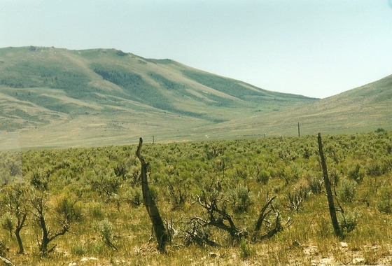
 NEAR MARKER C-11, THE TRAIL GOES WEST UP THE VALLEY
TO GRANITE PASS
From Marker C-10, the combined trail continued west about seven miles, crossed Junction Valley, and then went up the gently sloping hills to Granite Pass.
Photo by Bob Black
* * * * * * * * * * * * *
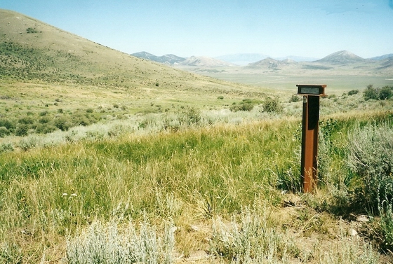
 LOOKING EAST DOWN THE TRAIL FROM GRANITE PASS AND MARKER C-12
The east side of the pass was easy traveling for the emigrants. Photo by Bob Black
* * * * * * * * * * * * *
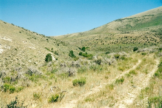
 TRAIL DROPS DOWN THE WEST SIDE OF THE PASS FROM MARKER C-12
The traveling was easy when the trail first started the descent down the west side of the pass. Photo by Bob Black
* * * * * * * * * * * * *
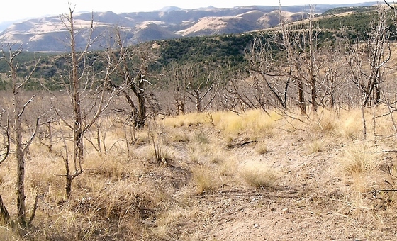
 THE ERODED TRAIL GOES DOWN THE RIDGE TOWARD BIRCH CREEK
The first three miles of the trail down from the pass were quite gentle and easy. The last mile was another story as it was very steep, rocky and eroded.
The section of trail shown in the photo, though rocky and heavily eroded, was not very steep. Photo by Bob Black
* * * * * * * * * * * * *
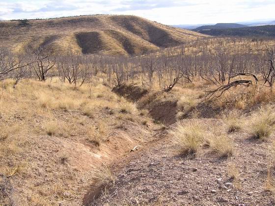
 THE ERODED TRAIL CONTINUES DOWN THE RIDGE TOWARD BIRCH CREEK
More of the same rocky and heavily eroded trail. Photo by Bob Black
* * * * * * * * * * * * *
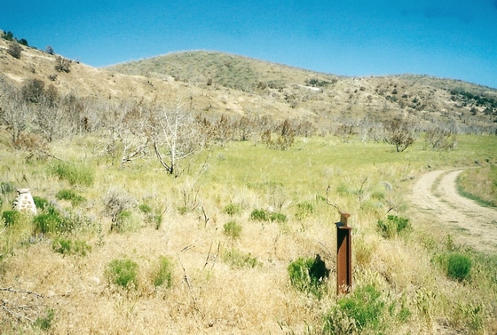
MARKER C-13 IS ALONG BIRCH CREEK AT THE BOTTOM OF THE HILL
Once the emigrants reached the bottom of the slope at Birch Creek, they could breathe a sigh of relief. The trip ahead to Goose Creek was going to be much easier. Photo by Bob Black
* * * * * * * * * * * * *
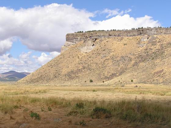
TRAIL GOES SOUTH (LEFT) AROUND THE BASE OF FLATIRON MT ALONG GOOSE CREEK NEAR MARKER C-14
Once the emigrants reached Goose Creek, they usually camped in the grassy bottom along the creek. Photo by Bob Black
* * * * * * * * * * * * *
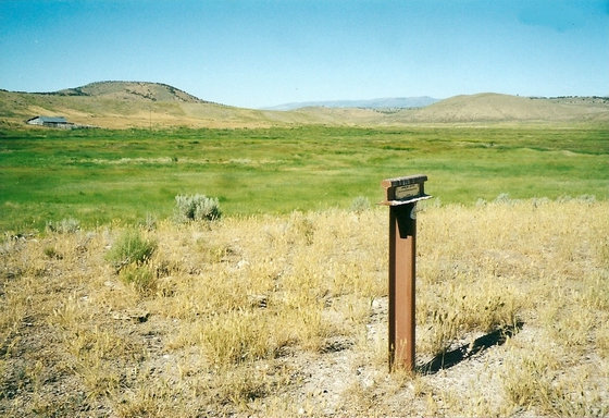
THE TRAIL NEAR MARKER C-16 IN GOOSE CREEK VALLEY
From the camping area, the emigrants followed Goose Creek on down the valley for about ten miles to Marker C-16. Photo by Bob Black
The trail is close to the present driving road in many places and is marked with white Carsonite markers.
* * * * * * * * * * * * *
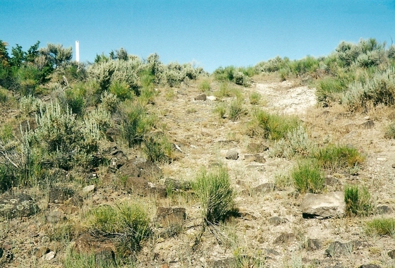
TRAIL HEADS WEST UP OUT OF LITTLE GOOSE CREEK NEAR MARKER C-18
The trail continued on down Goose Creek about another ten miles to the entrance to Little Goose Creek canyon.
The trail goes about four miles through the rugged, rocky canyon and then climbs up to the divide between the Snake River drainage and the Great Basin. Photo by Bob Black
* * * * * * * * * * * * *
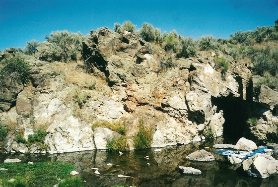
ROCK SPRING—AT MARKER C-20
After following Little Goose Creek to its head, the emigrants struck across a sage plain for about ten miles to Rock Spring.
This beautiful spring issued from the foot of a cliff of rocks, ran across the trail and then disappeared in the sand. However, it was a not a good place to camp as there was no feed. Photo by Bob Black
* * * * * * * * * * * * *
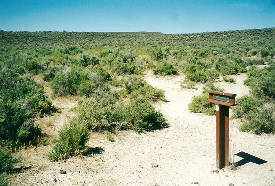
TRAIL HEADS SOUTH FROM MARKER C-22
From Rock Spring, the emigrants traveled about five miles south to the side trail to Emigrant Springs. Most of the emigrants turned west here and traveled about a mile to the ample water but usually poor feed. Photo by Bob Black
Leaving this small oasis, the emigrants returned to the main trail and headed south once more. They traveled about four miles and then reached Chicken Springs and Mud Springs. The alkali water found here was not very good.
** * * * * * * * * * * *
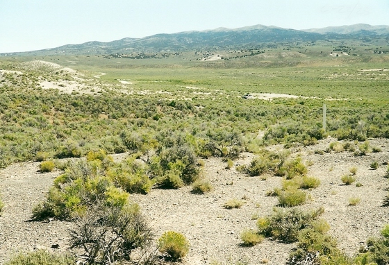
LOOKING BACK UP THE TRAIL NEAR MARKER C-22
From Chicken Springs, the trail ran up and over a hill and then dropped down into Thousand Springs Valley.
The three miles of trail between Marker C-22 and Marker C-23 is a fine example of original trail and makes a great hike since it looks much like it did when the emigrants traveled over it.
The trail is marked with white Carsonite markers all the way. Photo by Bob Black
* * * * * * * * * * * * *
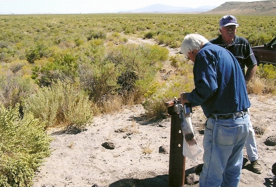
LOOKING NORTH UP THE TRAIL FROM MARKER C-23
Photo by Bob Black
* * * * * * * * * * * * *
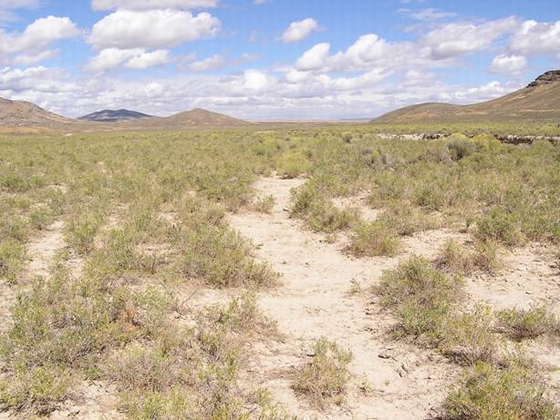
LOOKING NORTH UP THE TRAIL FROM C-24
The original trail is visible starting one mile south of Marker C-23 and going five miles to Marker C-24. Photo by Bob Black
The trail is located between the bladed driving road and Thousand Springs Creek.
* * * * * * * * * * * * *
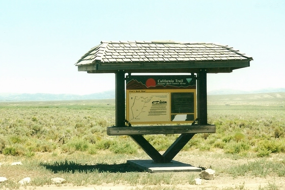
INFO KIOSK ON THE TRAIL NEAR MARKER C-25
The trail continues south another ten miles to this information kiosk.
Nearby on the west side of Thousand Springs Creek, the emigrants found both hot and cold springs located about five feet apart. The small streams running from the springs ran together and then made a great place to take a bath!
Needless to say, this was a very popular camping area. Photo by Bob Black
* * * * * * * * * * * * *
 LOOKING UP THE TRAIL TOWARD MARKER C-25
The trail goes south from the springs in Thousand Springs Valley about eleven miles to
Marker C-27. Photo by Bob Black
* * * * * * * * * * * * *
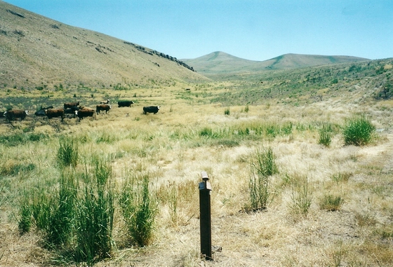
LOOKING NORTH UP THE TRAIL FROM MARKER C-27
The trail comes up the West Brush Creek canyon to the marker. Photo by Bob Black
* * * * * * * * * * * * *
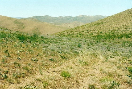
THE TRAIL GOES UP WEST BRUSH CREEK CANYON
From Marker C-27, the trail goes south up the drainage three miles to the top of the ridge. This dividing ridge separates the waters flowing east to the Great Salt Lake Basin and south to the Humboldt River. Photo by Bob Black
* * * * * * * * * * * * *
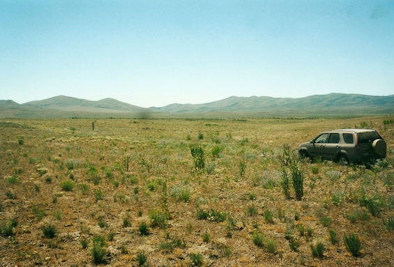
LOOKING EAST TO MARKER C-27 AND THE TRAIL JUNCTION FROM THE BISHOP CREEK BRANCH OF THE TRAIL
After crossing over the summit, the trail goes south about three miles to a fork in the trail.
The right hand branch, the Bishop Creek Route opened in 1843 by Joseph Walker , goes west through Bishop Canyon to the Humboldt River. Most of the emigrants went this way.
The left hand branch goes south to the Humboldt Wells in present Wells, Nevada . These springs are the beginning of the Humboldt River. Photo by Bob Black
* * * * * * * * * * * * *
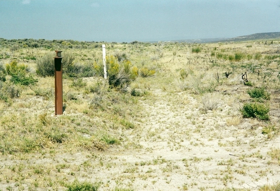
THE TRAIL GOES WEST AT MARKER C-32
This location is about seven miles west of the point where the two branches of the trail came back together.
This location is interesting in that the old emigrant trail and the abandoned road bed of the Central Pacific Railroad, constructed in 1869, are adjacent to each other.
Photo by Bob Black
* * * * * * * * * * * * *

LOOKING UP THE TRAIL NEAR HALLECK
The trail headed west and then southwest for about fifteen miles to reach this point.
The trail location changed from year to year depending on the water conditions. In dry years like 1849 the trail stayed close to the Humboldt River. In wet years like 1850 the trail took to the higher ground on the sand bluffs.
In this area in 1846, the Bryant-Russel pack train coming west from the Hastings Cutoff, met the Applegate pack train traveling east along the Humboldt River. The Applegate party had just blazed a wagon route from the Willamette Valley in Oregon to the California Trail. This was the Applegate Trail. Photo by Bob Black
* * * * * * * * * * * * *
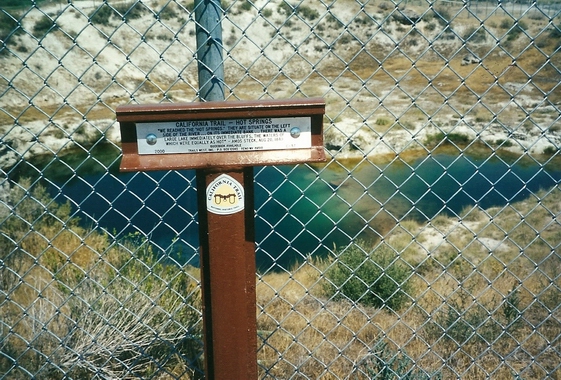
MARKER C-37 AT THE HOT SPRINGS WEST OF ELKO
The trail continued west and southwest along the Humboldt River corridor for about twenty-five miles to the hot springs located about 2 miles west of Elko on the east side of the river.
These springs drained into the river and made it possible for the emigrants to bathe in warm water.
There was fine camping in the slough area going west along the river. Photo by Bob Black
* * * * * * * * * * * * *
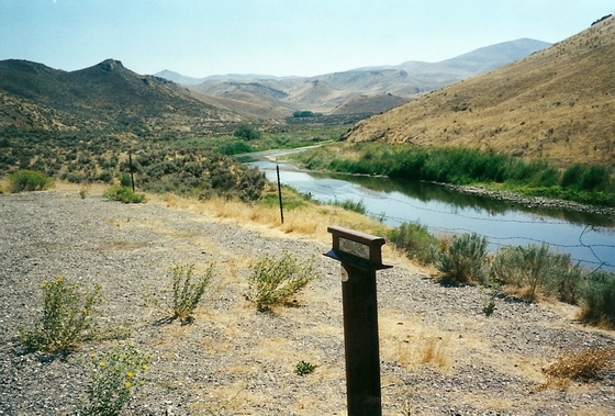
LOOKING UP THE RIVER AT MARKER C-39
After traveling west about ten miles from the hot springs, the emigrants reached a trail junction and had a choice of routes.
They could go west up over the hills on the Greenhorn Cutoff or they could continue along the river and go through the Carlin Canyon. Even though there were four river crossings, the canyon route was not very difficult and most of the emigrants chose this route.
About a mile west of this trail junction, there was another junction. This is where the Hastings Cutoff came into the California Trail from the east after coming down through the S. Fork of the Humboldt River canyon.
After continuing west on the trail west for another eight miles, the emigrants reached the junction where the Greenhorn Cutoff rejoined the California Trail at Marker C-40/G-7.
Photo by Bob Black
* * * * * * * * * * * * *
THE TRAIL GOES SOUTH UP THE RAVINE AT MARKER C-41
In order to avoid the impassable Palisade Canyon through which the Humboldt River flowed, the emigrants left the river and headed up the ravine to Emigrant Pass. Photo by Bob Black
* * * * * * * * * * * * *
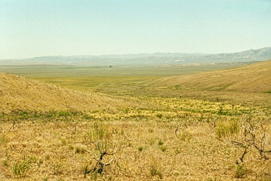
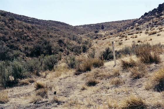
 THE TRAIL DESCENDS FROM EMIGRANT PASS TO MARKER C-43 IN EMIGRANT CANYON
After crossing the pass, the emigrants at first had a rocky, winding route down a narrow ravine. Then the canyon opened up and the rest of trip down the mountain was fairly easy. Photo by Bob Black
* * * * * * * * * * * * *
THE TRAIL HEADS DOWN TO MARKER C-44
After leaving the last marker, several branches of the trail went downhill toward the river.
The main trail went past the marker and the unknown emigrant graves in the fenced enclosure to the Humboldt River at Gravelly Ford. Photo by Bob Black
* * * * * * * * * * * * *
THIS PLATE IS NEAR MARKER C-44 NEAR THE GRAVELLY FORD SITE
This ford was one of the notable sites on the California Trail and was mentioned in a lot of the emigrant diaries.
The trail split here; one fork went down each side of the Humboldt River all the way to Big Meadows. The north side trail was known as the bluff trail or the dry weather route and received the greatest use. The south side of the river near the ford had grass and a camping area so many of the emigrants crossed the river here and then continued down the south side trail.
Photo by Bob Black
* * * * * * * * * * * * *
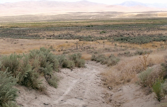
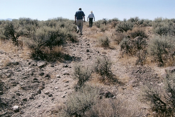
 THE TRAIL HEADS UP THE HILL AT IRON POINT NEAR MARKER C-58
This location, on the south side trail, is the steep sand hill where the Reed-Snyder fight took place on Oct. 5, 1846. After much quarrellng, Reed plunged a knife into Snyder’s chest and killed him. Photo by Bob Black
* * * * * * * * * * * * *
THE TRAIL GOES WEST PAST MARKER C-64
This marker is located at a fork in the north side trail. The right fork was the continuation of the Dry Cutoff and took off across the table land. The left fork continued on down the river.
Photo by Bob Black
* * * * * * * * * * * * *
ALONG THE TRAIL BETWEEN MARKER C-64 AND C-65
The old trail, now a ranch road, can be driven for long distances through country that has changed little since the days that the emigrants passed by. Photo by Bob Black
* * * * * * * * * * * * *
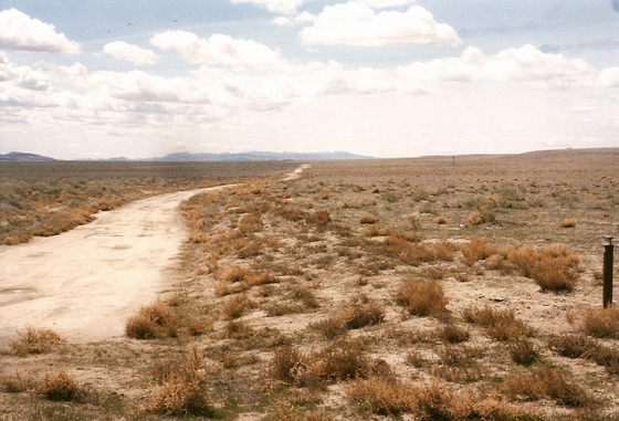
THE DRY CUTOFF CONTINUES PAST MARKER C-65 ON ITS WAY
SOUTH TO THE RIVER.
This section of the Dry Cutoff can easily be driven in a 4WD vehicle from Marker C-65 to the County Road at the Callahan Bridge over the Humboldt River. Photo by Bob Black
* * * * * * * * * * * * *

LOOKING SW DOWN THE HUMBOLDT RIVER NEAR MARKER C-66
The two forks of the north side trail rejoined about two miles back up the trail.
The combined north side trail continued on into the Lassen Meadow where the emigrants found feed. They usually camped here for a day or two to cut hay and recruit their livestock. Photo by Bob Black
* * * * * * * * * * * * *
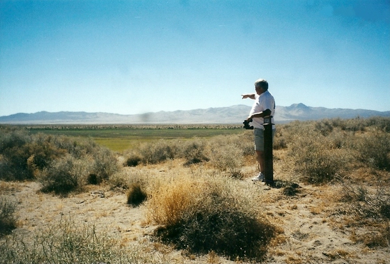
JUNCTION WITH THE APPLEGATE TRAIL AT MARKER C-67/A-1
Along the Humboldt River in Lassen Meadows, the Applegate Trail left the main trail and headed west to southern Oregon.
Photo by Bob Black
* * * * * * * * * * * * *
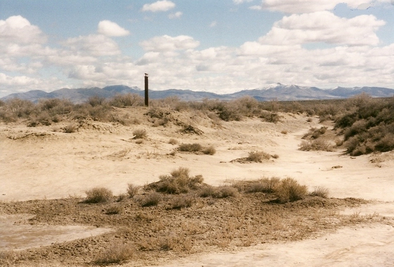
AT MARKER C-68 THE CUTOFF TRAIL FROM LASSEN MEADOWS
REJOINED THE SOUTH SIDE TRAIL
As shown in the photo, the country was very sandy. The trail became very dusty and rutted easily.
For this reason, the emigrants did not travel on just one set of tracks but moved over when the trail got too bad. Photo by Bob Black
* * * * * * * * * * * * *
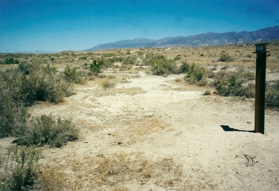
THE TRAIL GOES PAST MARKER C-69
This marker is located on the north side trail. The original trail runs right next to much of the ranch road for the next five miles. Photo by Bob Black
* * * * * * * * * * * * *
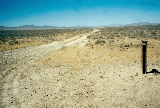
A RANCH ROAD GOES PAST MARKER C-70
A section of original north side trail is located just west of the dirt road in this area.
Photo by Bob Black
* * * * * * * * * * * * *
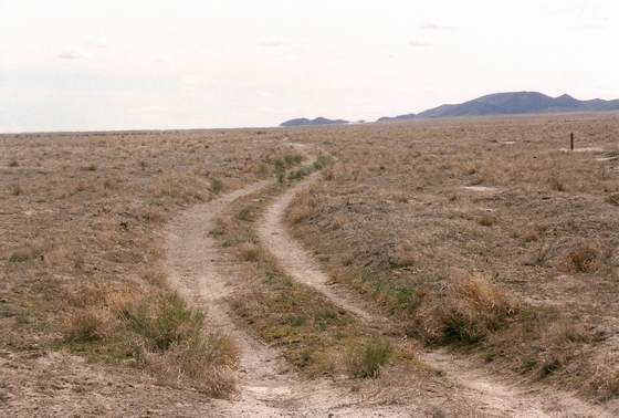
THE TRAIL GOES PAST MARKER C-72
The dry, dusty trail north side trail continues south parallel to the river for about nine miles
to Marker C-75. Photo by Bob Black
* * * * * * * * * * * * *
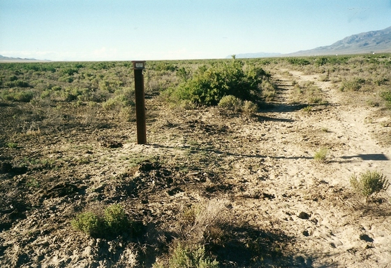
MARKER C-73 IS LOCATED ON THE SOUTH SIDE TRAIL
The marker is located on a short section of original trail. Photo by Bob Black
* * * * * * * * * * * * *
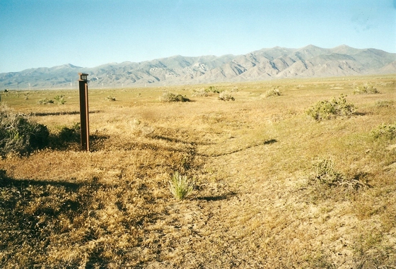
MARKER C-74 SITS ALONG THE SOUTH SIDE TRAIL
A section of original trail runs north from this marker for about three miles.
Photo by Bob Black
* * * * * * * * * * * * *
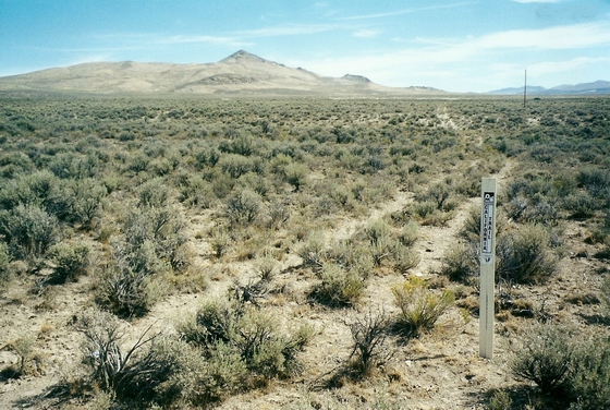
THE SOUTH SIDE TRAIL AS IT GOES SOUTH
The original trail is easily visible as a scar in the sage brush along the side of the ranch road. It extends for several miles as the trail heads toward Marker C-78. Photo by Bob Black
* * * * * * * * * * * * * *
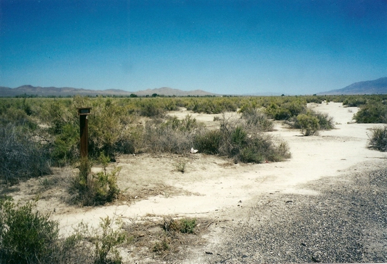
TRAIL PASSED OVER MORE OF THE SANDY DESERT AT MARKER C-78
By the time the emigrants reached this point, they were so tired of traveling over the sandy, salty and monotonous desert that they vowed they would never come this way again. Photo by Bob Black
* * * * * * * * * * * * *
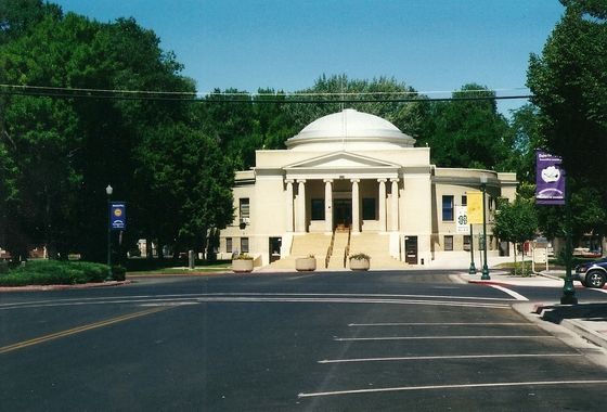
MARKER C-79 IS LOCATED NORTH OF THE COURTHOUSE
IN LOVELOCK, NEVADA
Prior to the agricultural development around Lovelock, the Humboldt River had spread out over a vast area and had created a lot of natural meadows.
These meadows provided the last chance for the emigrants to recruit their livestock and cut hay for passage over the dreaded Forty Mile Desert. Photo by Bob Black
* * * * * * * * * * * * *
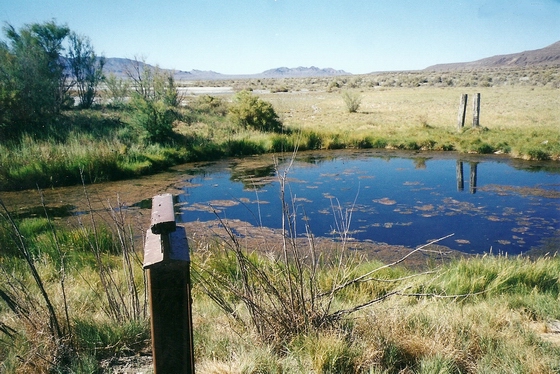
MARKER C-83 NEAR TOULON
The last chance for the emigrants to obtain water was here at the sulfur wells dug near the southern edge of the sink. Most emigrants described the wells in bleak terms such as “nearly full of very bad water, more strongly impregnated with salt than with sulfur.”
The California Trail forked about four miles south of the wells. The left branch was the Carson Trail, opened in 1848, and the right branch was the Truckee Trail opened in 1844.
Photo by Bob Black
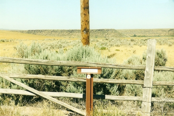
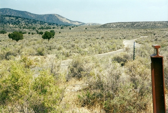 FROM MARKER C-4, THE TRAIL HEADS SOUTHWEST TOWARD CASSIA CREEK
 HUDSPETH CUTOFF JOINS THE CALIFORNIA TRAIL SOUTH OF MARKER C-4
 TRAILS LEAVES CASSIA CREEK AT MARKER C-5
 TRAIL NEAR SUMMIT CREEK AT MARKER C-6
 TRAIL ENTERS THE CITY OF ROCKS NEAR MARKER C-7
 TRAIL APPROACHING CAMP ROCK AND MARKER C-8
 EMIGRANT NAMES ALONG THE TRAIL NEAR MARKER C-8
 TRAIL GOES DOWN THE SOUTH SIDE OF THE PASS
 PINNACLE PASS VIEWED FROM THE SOUTH SIDE NEAR MARKER C-10
 JUNCTION OF THE SALT LAKE CITY CUTOFF IN THE VALLEY
 NEAR MARKER C-11, THE TRAIL GOES WEST UP THE VALLEY
 LOOKING EAST DOWN THE TRAIL FROM GRANITE PASS AND MARKER C-12
 TRAIL DROPS DOWN THE WEST SIDE OF THE PASS FROM MARKER C-12
 THE ERODED TRAIL GOES DOWN THE RIDGE TOWARD BIRCH CREEK
 THE ERODED TRAIL CONTINUES DOWN THE RIDGE TOWARD BIRCH CREEK

 THE TRAIL DESCENDS FROM EMIGRANT PASS TO MARKER C-43 IN EMIGRANT CANYON

 THE TRAIL HEADS UP THE HILL AT IRON POINT NEAR MARKER C-58