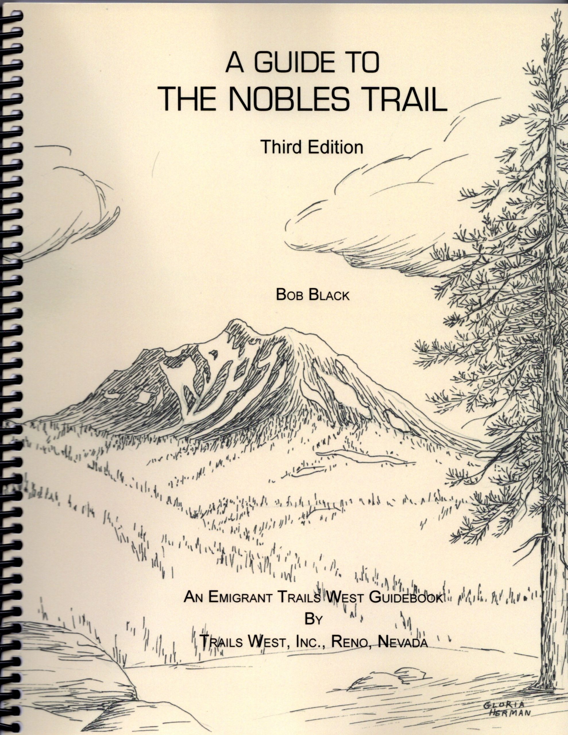
A GUIDE TO THE NOBLES TRAIL
(Third Edition – 2025)
FROM THE APPLEGATE TRAIL
TO SHASTA CITY
Markers N-1 through N-61
Price includes tax and shipping.
PayPal also accepts credit cards and does not require a PayPal account. Just click on the Add to Cart button above and follow the directions. You will go to a PayPal website, but there is an option to use your credit card and it won’t have anything to do with PayPal.
If you want to ship out of the USA, contact us at: TWinfo(at)emigranttrailswest.org
This is a 201 page spiral bound book that will guide you along the Nobles Trail from its beginning where it leaves the Applegate Trail in Nevada to its end at Marker N-61 in Shasta City, California.
The book includes:
1. A description of each of the 65 Inscription Plates that are attached to the Trails West Markers along this trail.
2. Thirty-four maps showing everything from the many emigrant trails to California to detailed maps with individual markers, roads, trails and hiking trails identified.
3. How-To-Find instructions. These explicit written instructions are designed to take the modern traveler along the Nobles Trail the quickest but safest way from one Trails West Marker to the next. When the written instructions for driving to a marker become too complex, a supplemental map is provided to help you find the location.
4. The location of each Trails West Marker using GPS latitude/longitude and UTM coordinates.
5. Cautionary notes, where appropriate, to warn the user of the Guide where difficulties might be encountered.
6. Over 225 quotations from emigrant diaries and journals spanning the period from 1849 to 1865. These Overland Narratives help give the modern traveler a feeling of what it must have been like at or near each Marker location when the mid-1800’s emigrants passed by. Presented below is a sample of one of the Overland Narratives included in the Guide:
“Aug. 22. [Camping on the north side of Susan River] This day we lie by to keep the Sabbath, to rest ourselves & cattle. This morning our neighbor campers found one of their oxen shot by the Indians; nearly dead. The ox had 5 arrows sticking in him form 2 to 10 inches deep; the Indians have not showed themselves today. This is a beautiful place surrounded on two sides by the Sirenevada Mountains. Thickly covered with pine timbers. The day has been fair with pleasant breeze. The snow shows itself in patches here on the mountains; The nights is quite cool.”
J. D. Randall, 1852
(One of the Overland Narratives for Marker N-25)
7. Trail descriptions. The route of the trail and the difficulties encountered on that route is described for each marker. For some markers, additional information about a hiking trip along the original trail is provided. To follow these additional instructions, good hiking shoes and drinking water is essential. Presented below is a sample of the information on one of the Hiking Trips presented in the Nobles Trail Guide:
A HIKE TO THE PLAYA
“You can hike over the original Nobles Trail that came off the Smoke Creek Desert playa from Deep Hole Springs. It’s a 3-1/2 mile round-trip hike from the Smoke Creek Road, through washes and sagebrush, to the playa edge and back. The hike begins and ends at Marker N-9A. Small rock cairns have been placed along the trail, where possible, to guide the hiker to and from the playa. These rock cairns are of various sizes and shapes, depending on the availability and size of the rocks in the area. They are not necessarily linked to the waypoints that are provided below. The map on page 165 is included to give you a feel for the general route of the trail. It is not intended to be used as a guide to follow when hiking the trail.”
8. Over 75 photographs of locations along the trail. Most of these are unique to this Guide.
9. Sixteen maps unique to this guide. These maps show the route(s) the emigrants actually followed. Sometimes the route(s) shown can still be seen as ruts, a depression, a scar, or an area of moved rocks. In other cases, the route shown is now a road or is no longer visible due to modern development.
Compared to most other guides, the maps in the Nobles Trail Guide are more complete. Instead of merely showing one, generalized trail, the maps in Emigrant Trails West guides identify, where they exist, segments of the trails that have not been used by motor vehicles, segments that have been used by motor vehicles, and segments that are identified in emigrant diaries but can not be physically located. In addition, alternate routes are identified.
10. Special features include an introductory history of the origins and development of the Nobles Trail, along with historical commentaries on unique trail locations and emigrant experiences, the 1853 Dreibelbis Way Bill, and an extensive bibliography.
For a photo tour of the Nobles Trail click here.
